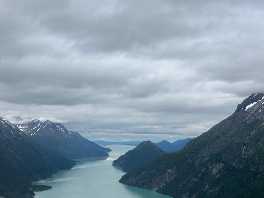
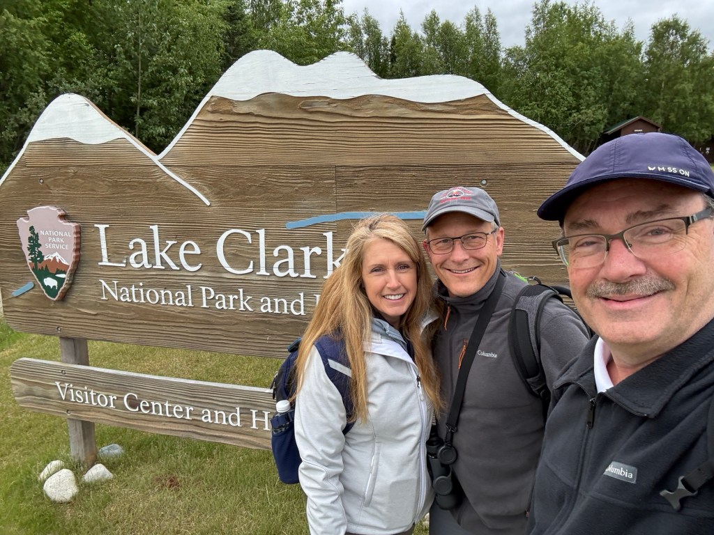
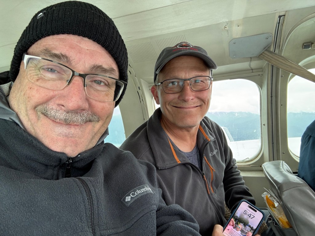
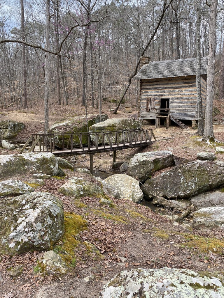
The only way to get to this park, is by a small plane. Port Allsworth serves as the hub. lake Clark Airlines out of Anchorage makes it fairly simple, not inexpensive, but straightforward. The park provides a remote setting with gorgeous vistas. The Ranger Station and Visitor Center are closed on Sundays.
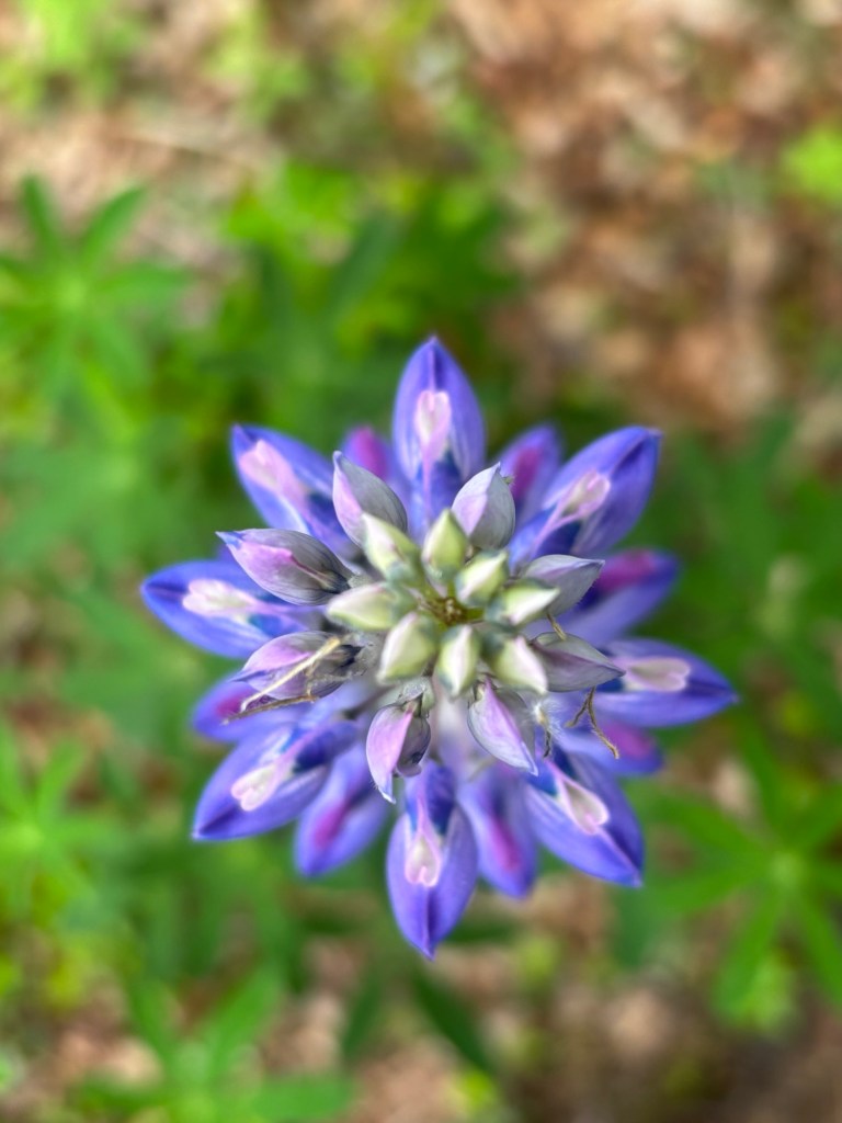
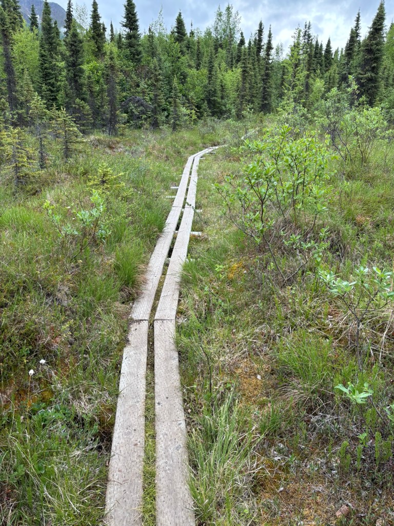
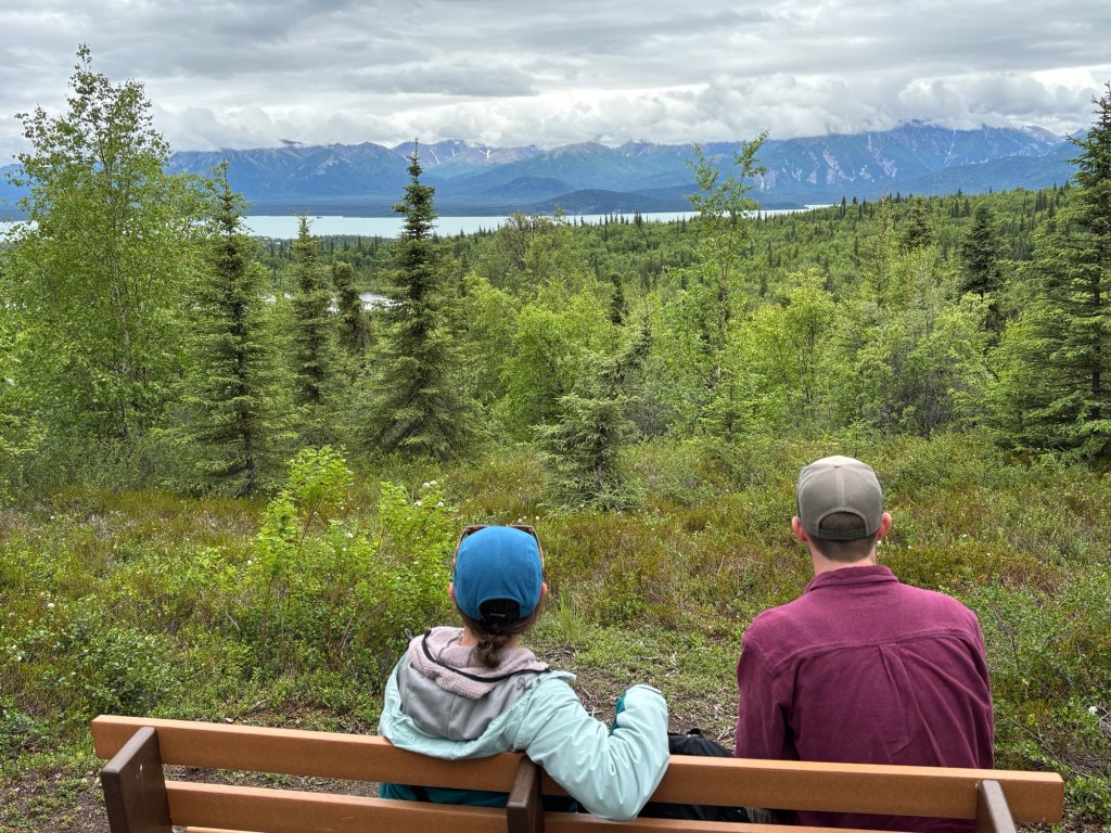
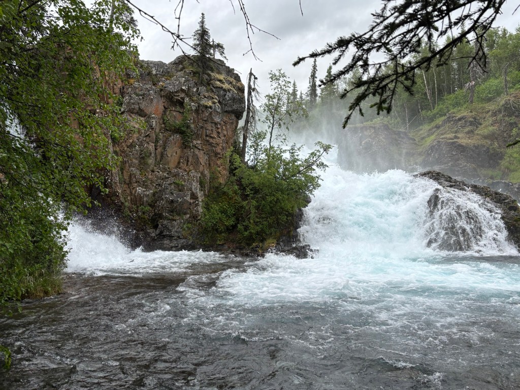
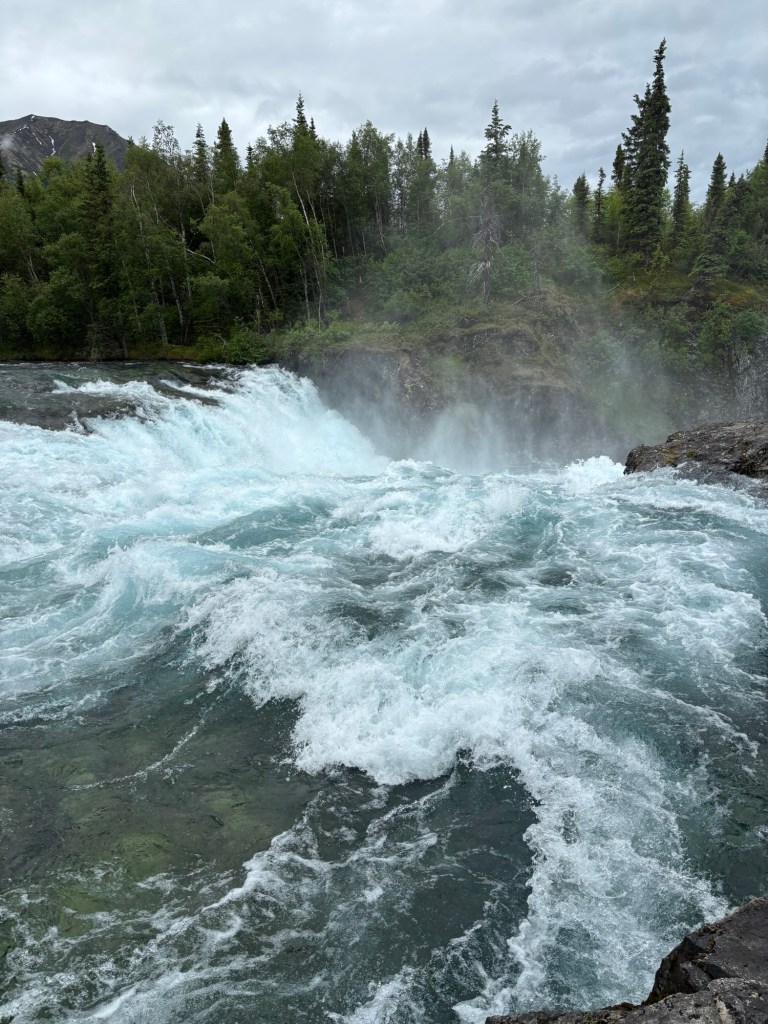
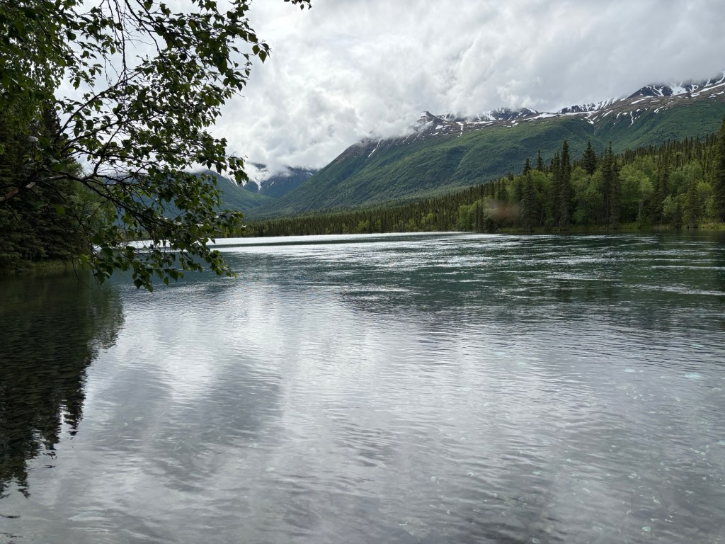
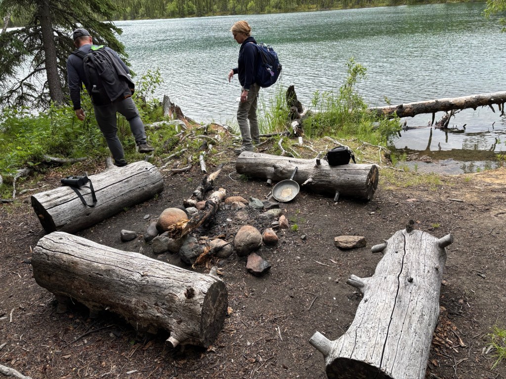
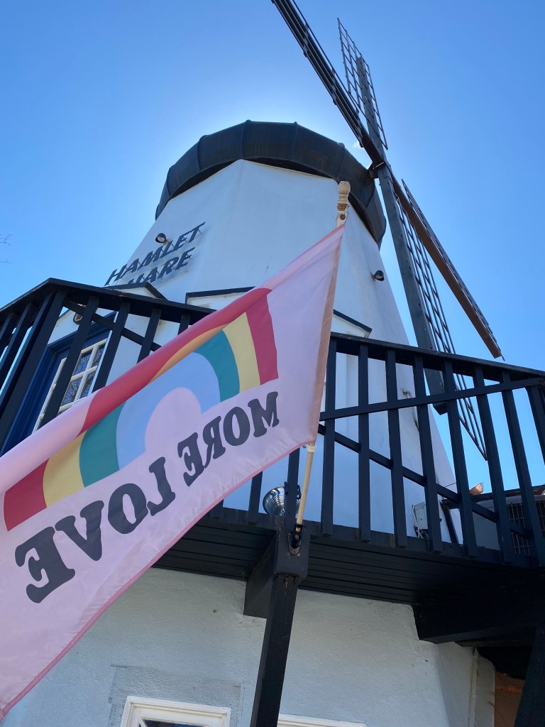
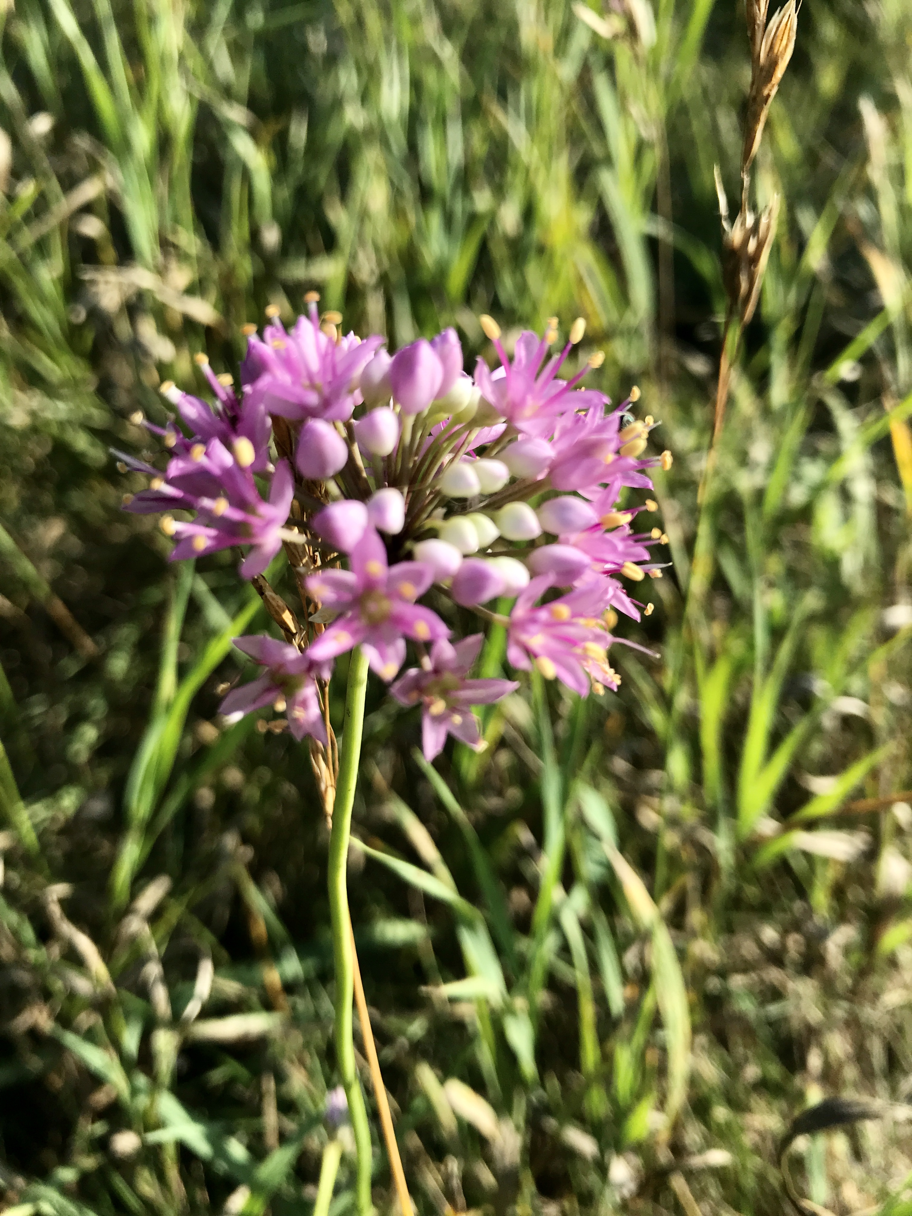
That plane will fly you through the pass over the lake to the nice coffee shop. 😊This view is worth the Journey This parks resides in a volcano field with lots of little cinder cones. The wild flowers in June are brilliant. The sun never sets. There is a moderately challenging 7 mile round trip walk to the Tanalian Falls. They gave us bear spray, but said hikers never encounter bears on this hike. That made me feel better. There were other people wandering around in this Remote Park!The Tanalian FallsA view from the topI wore my bear bell. But I silenced it around other people. I was a little embarrassed. Just before the Falls. You camp here. We had lunch. I was a little terrified that we would become lunch. I didn’t think it was a good idea to carry roast beef to a picnic site. 😀Planes fly in and out taking passengers to other sites in Lake Clark. Lake Clark Lodge can take care of all your needs Oh, I almost forgot, they have a great coffee shop National Park #56 we flew in and out in one day.
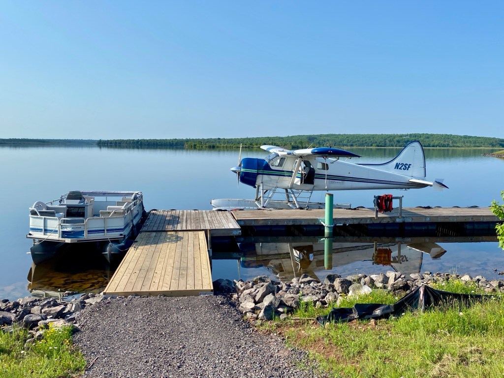
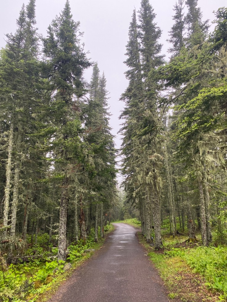
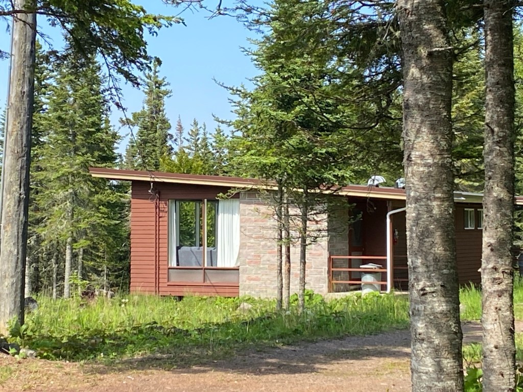
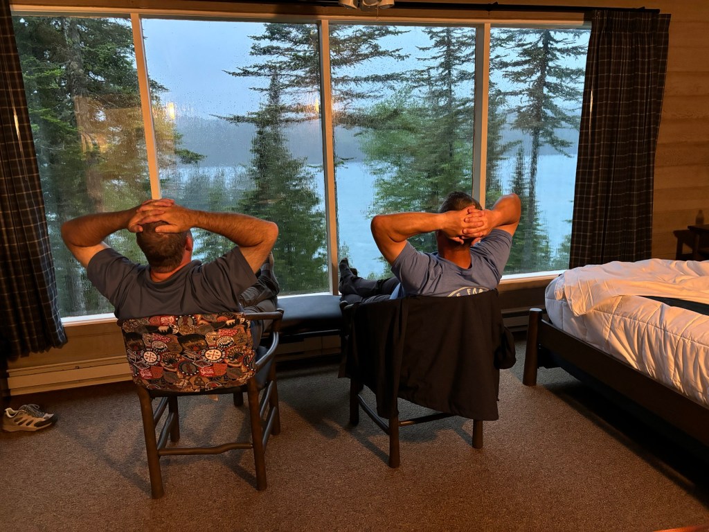
After four years of delays, I finally landed on Isle Royale National Park. National Park #55 for me rates high on peacefulness scale and the lodging might be the best so far.
Our Transport
The ferries are the most economical way to traverse Lake Superior, but they book up quickly. We decided to fly. $350 round trip – it takes about 40 minutes to make the flight. It’s a little tight, but comfortable.
First Seaplane Ride
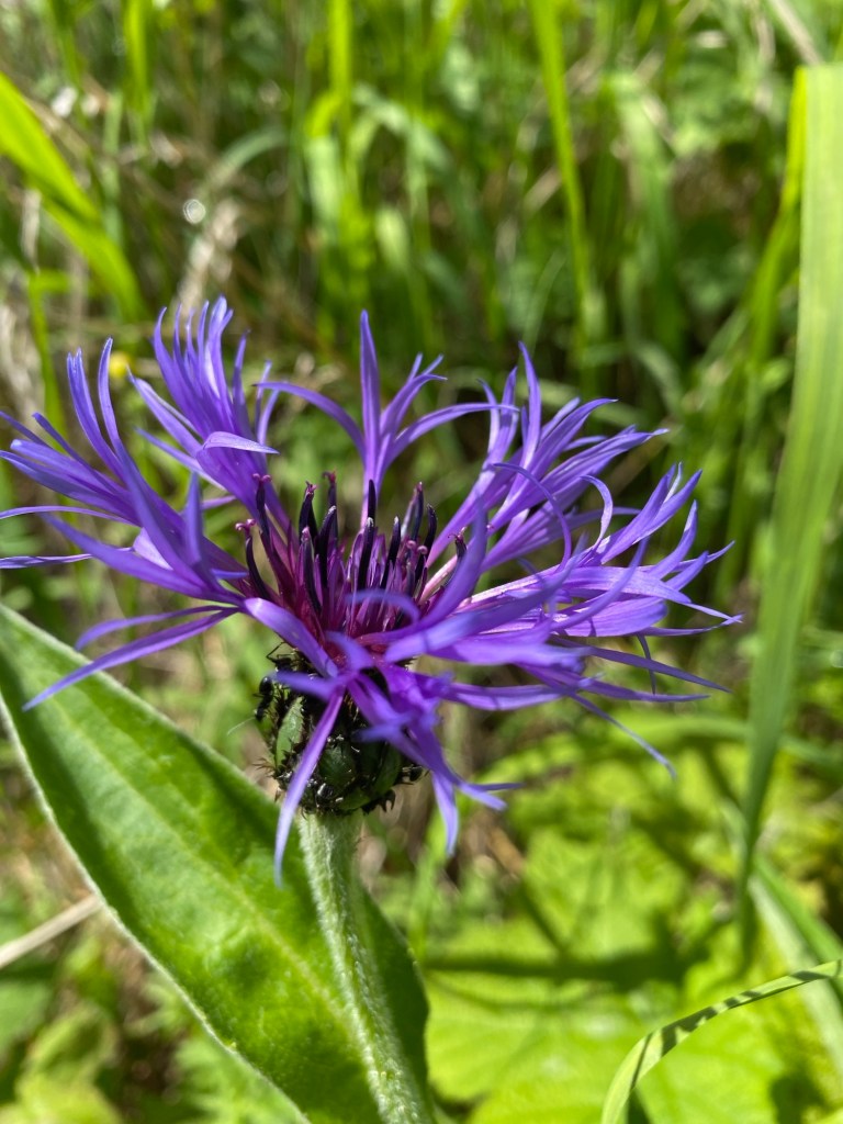
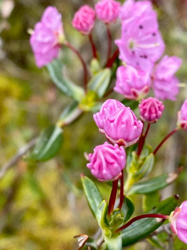
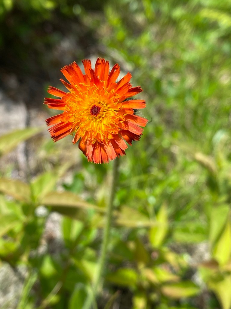
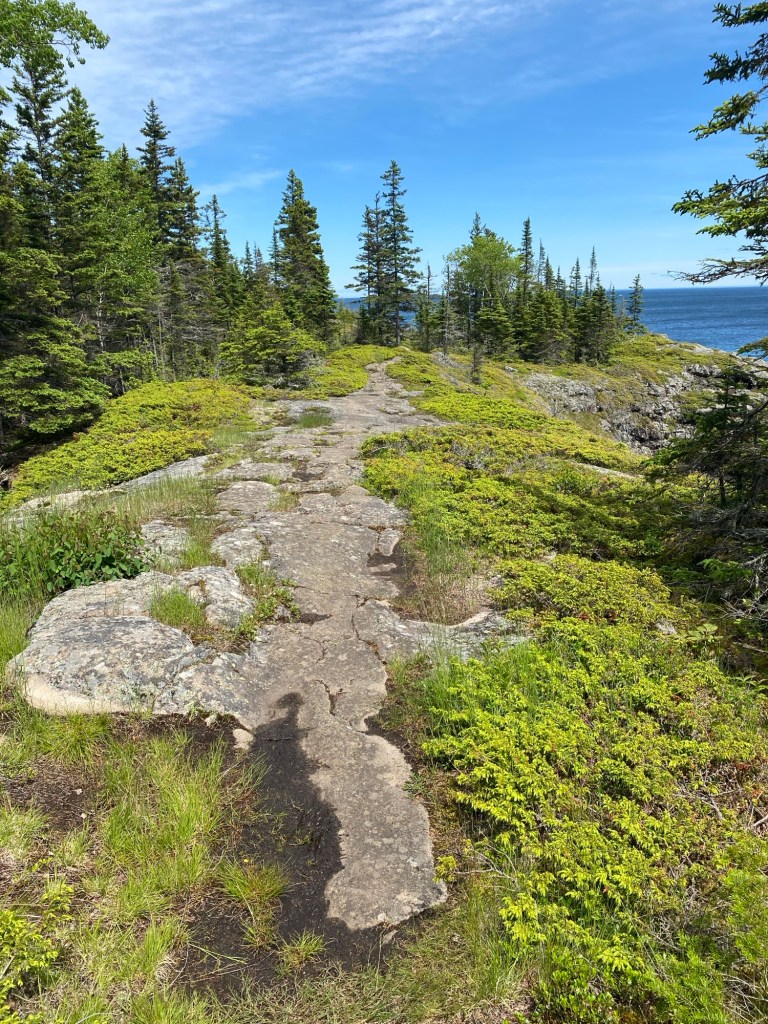
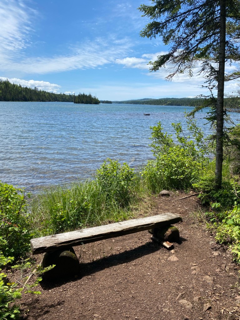
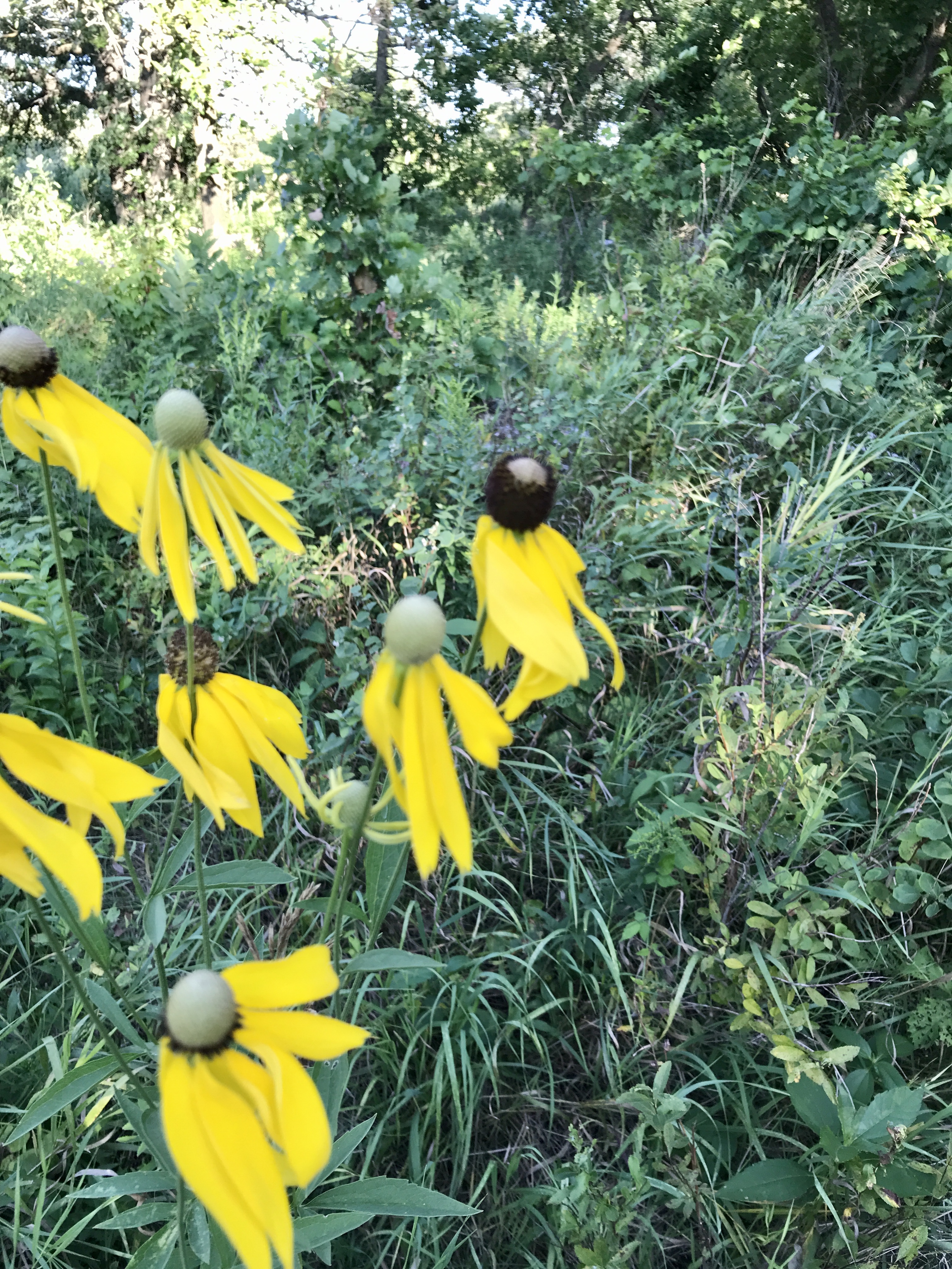
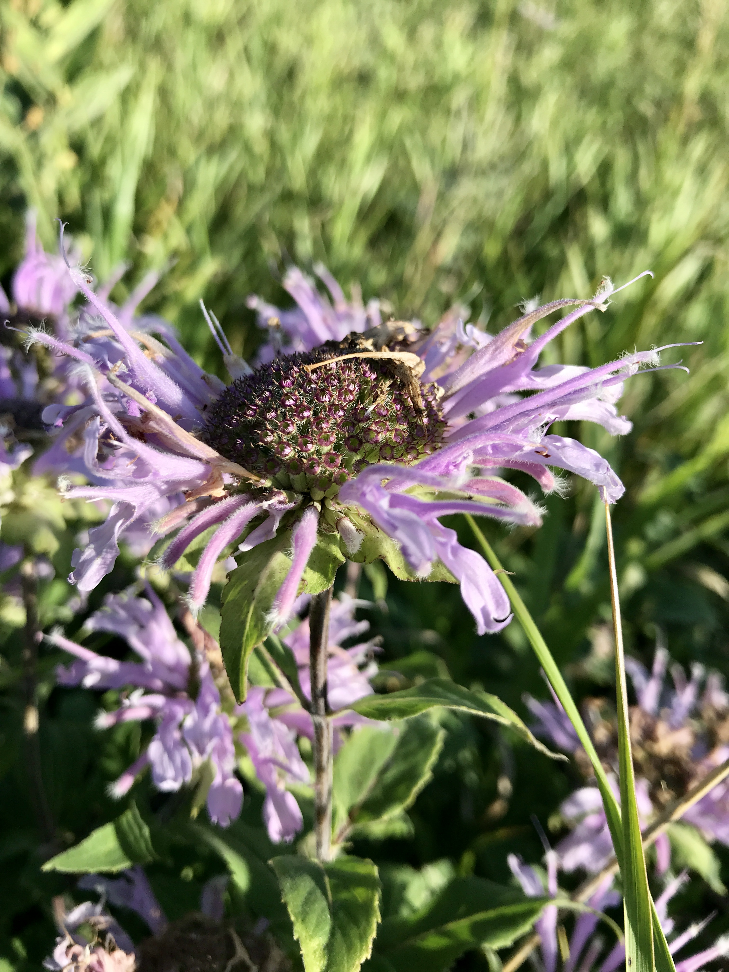
Isle Royale is only open from May through October and only 25,000 people a year make the journey. In June, the wildflowers show off.
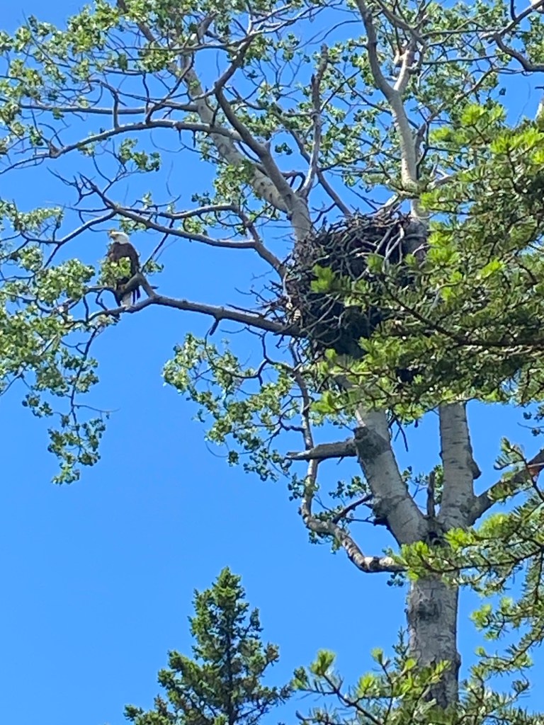
The moose swim in the lakes, the otters play in the harbor, the loons sing their tales, and eagles rule the sky.
The Bald Eagle and Eaglet And plenty of other birds
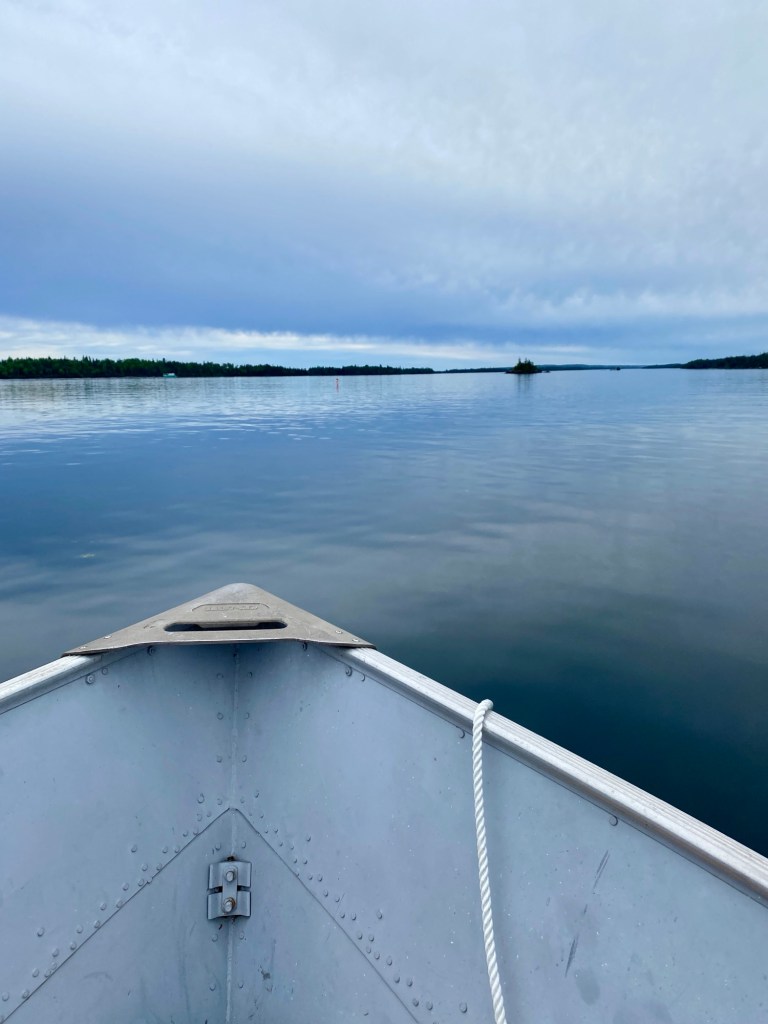
They provide water tours or you can rent a John boat and explore on your own.
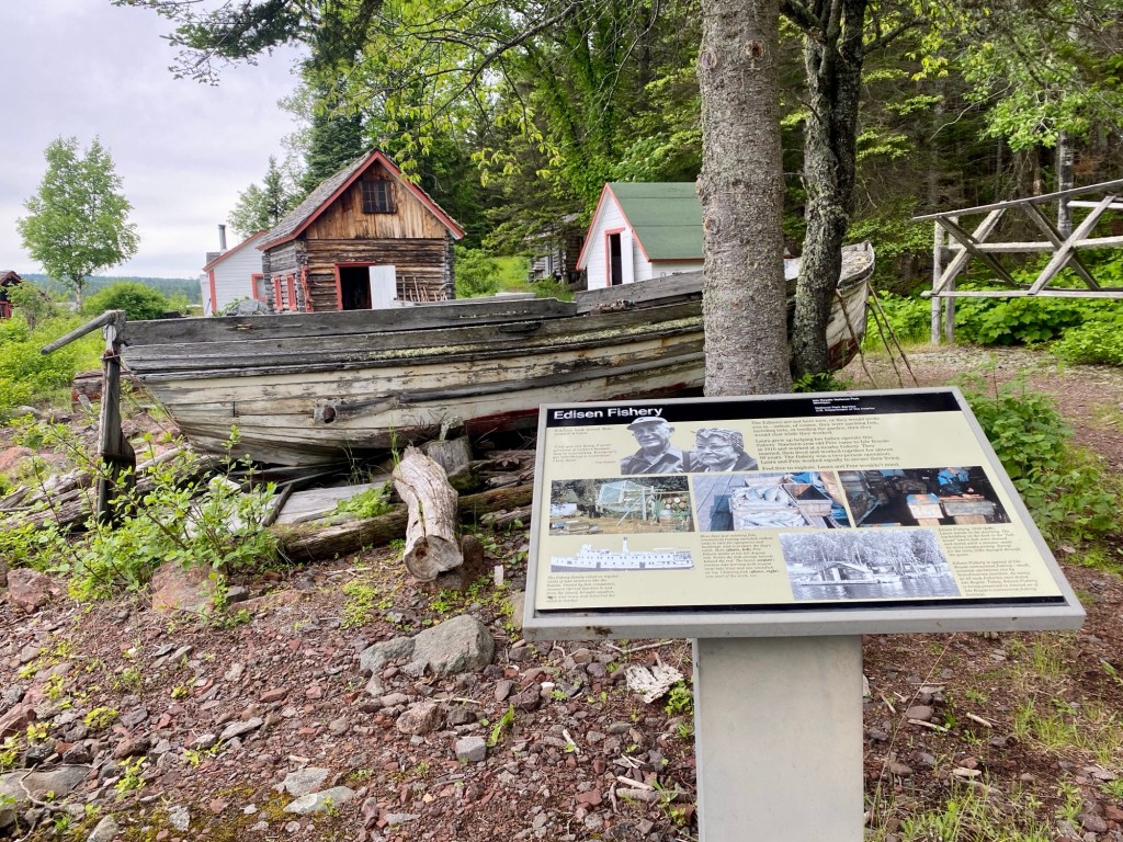
Rock Harbor The Classic The historic fishery The boneyard
And hiking provides endless color, fragrant balsam firs, and blue water.
Scoville PointNear Suzy’s Cave The Balsam Fir
And the Housekeeping Cabins have huge windows with stunning views of the lake (and moose for us).
Newly Renovated Heavenly ViewWorth the Wait. Worth the Time.
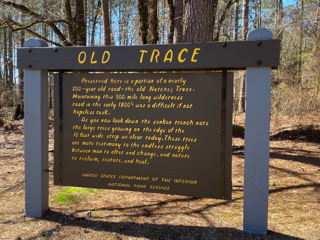
Presidents’ Day Weekend. Kind of fitting, so many of their decisions created the trauma and drama of the Trace
We started in Holly Mississippi where Ida B Wells Barnett got her start at Rust College. The Coffee was terrible, the art was folksy.
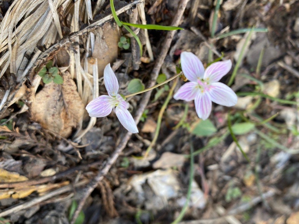
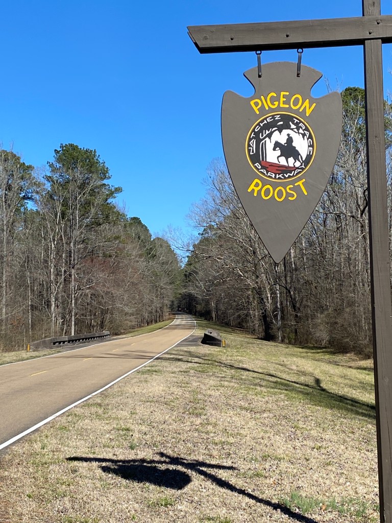
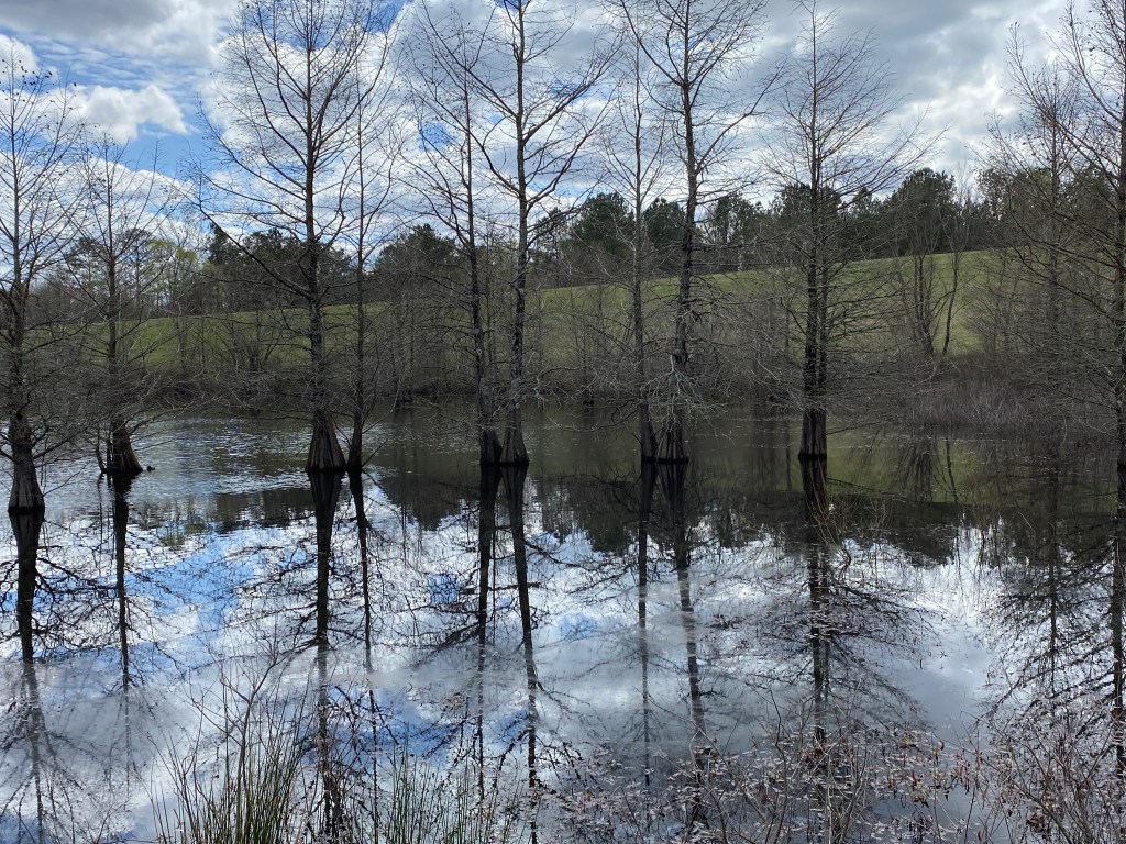
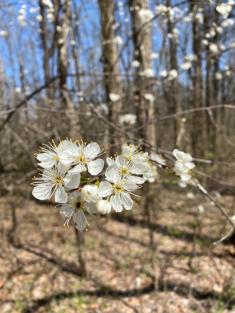
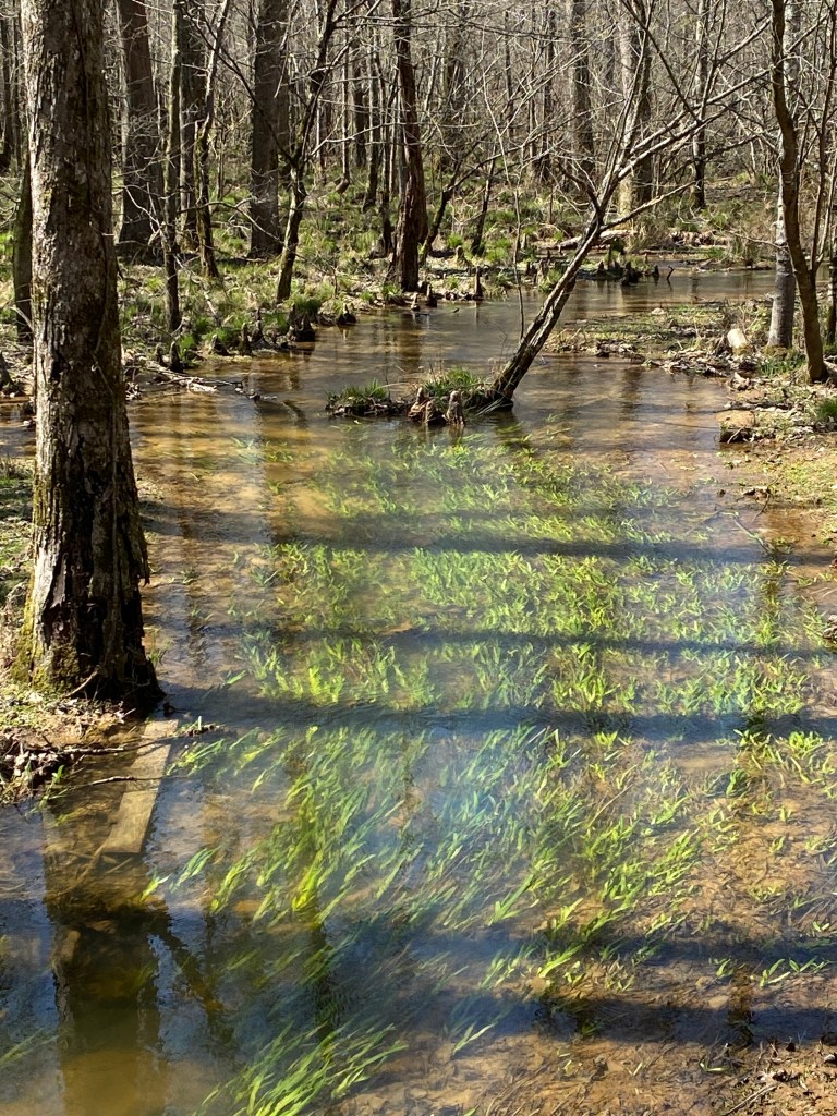
Rich music comes from this region 🎶 Spring Beauty appeared in mid- February. The Endless Battle Between Human and Nature This National Park Site runs from Nashville to Natchez
It’s ultimately a clash between humanity and manifest destiny. The Choctaw and the Chickasaw were slowly pushed out of these lands as the Trace brought a continuous moving chain of settlers. One treaty and broken treaty after another, the Native People lost it all. They had their own Trail of tears tears before the Cherokee.
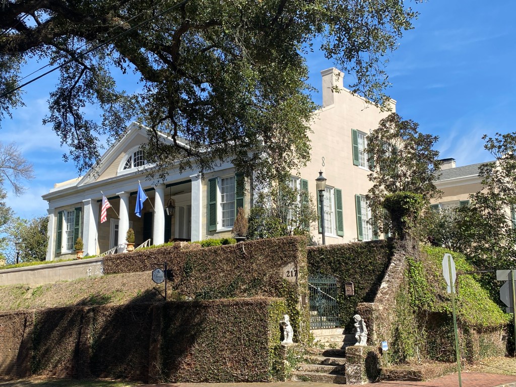
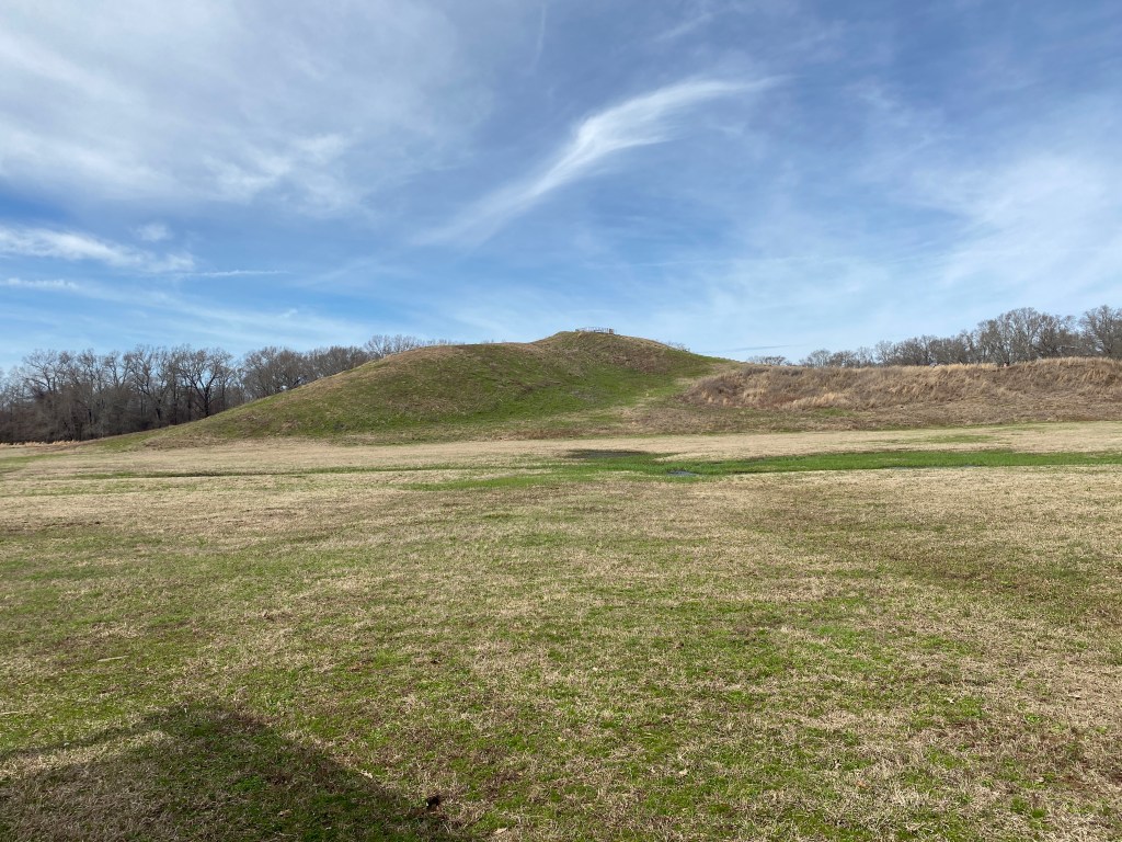
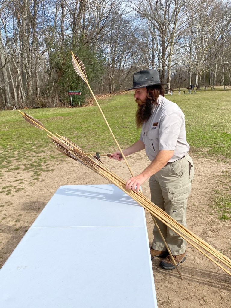
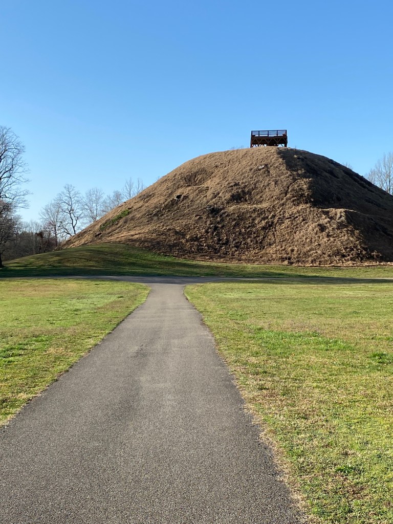
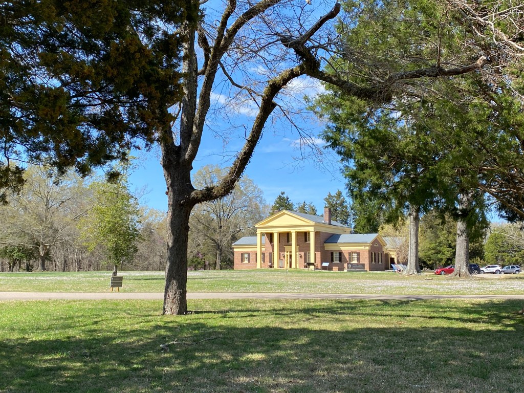
The Slave owners built mansions to celebrate the removal of the Native Tribes. These people named their houses in their “honor”? This is the Cherokee house. Across the street was the Choctaw House. The Audacity! Natchez does throw a good Marci Gras party. Across the Mississippi in Louisiana, you will find the mysterious mounds of Poverty Point. The people who lived here created a thriving city of 10,000 and built these mounds. Maybe in just one summer over 2000 years ago. A 10,000 year old technique It’s effective Easy to learn Bullseye
Slavery, poverty, the destruction of cultures, underlies all the beauty of Mississippi. I can never be happy there. But, I continue to return.
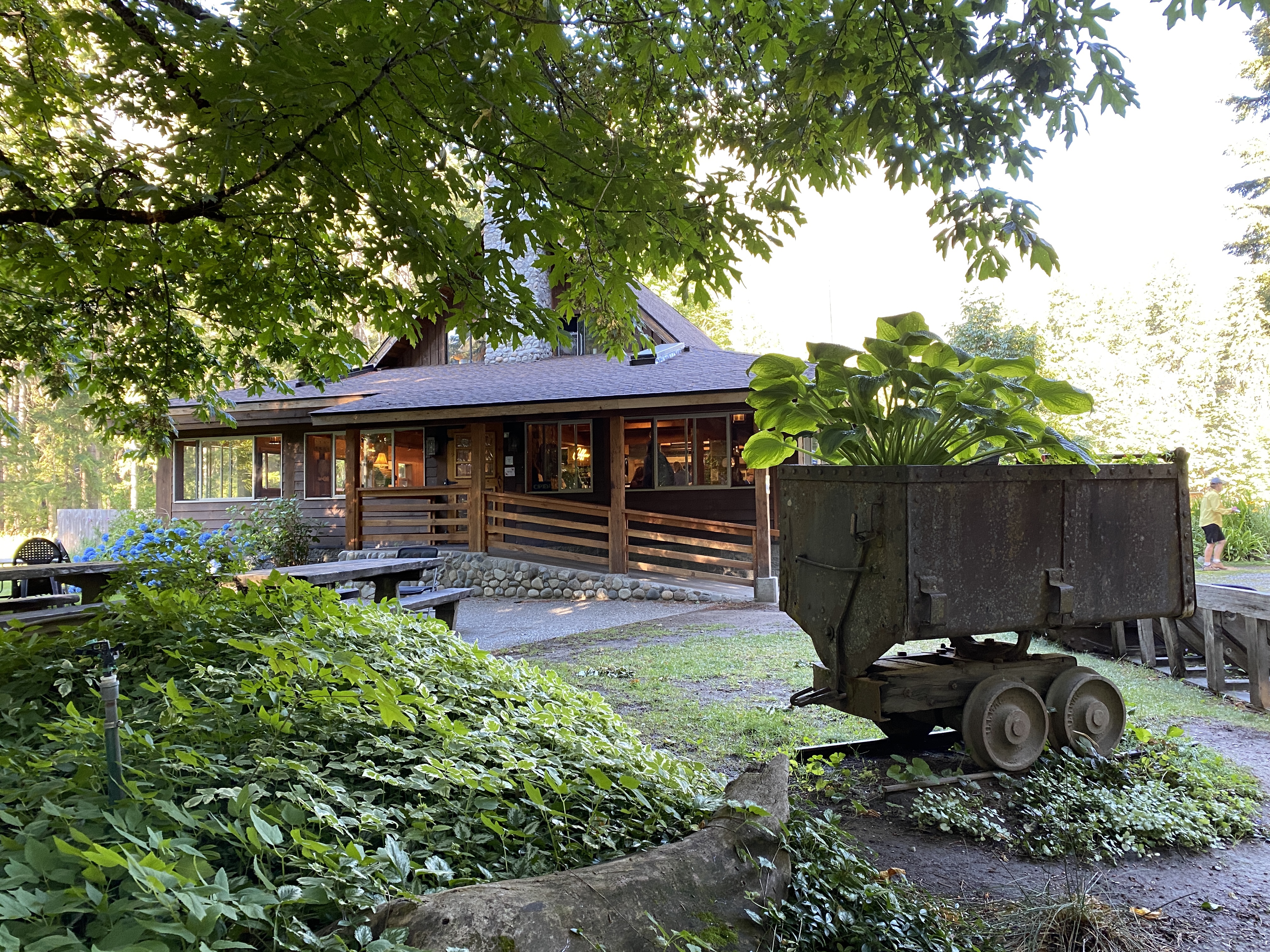
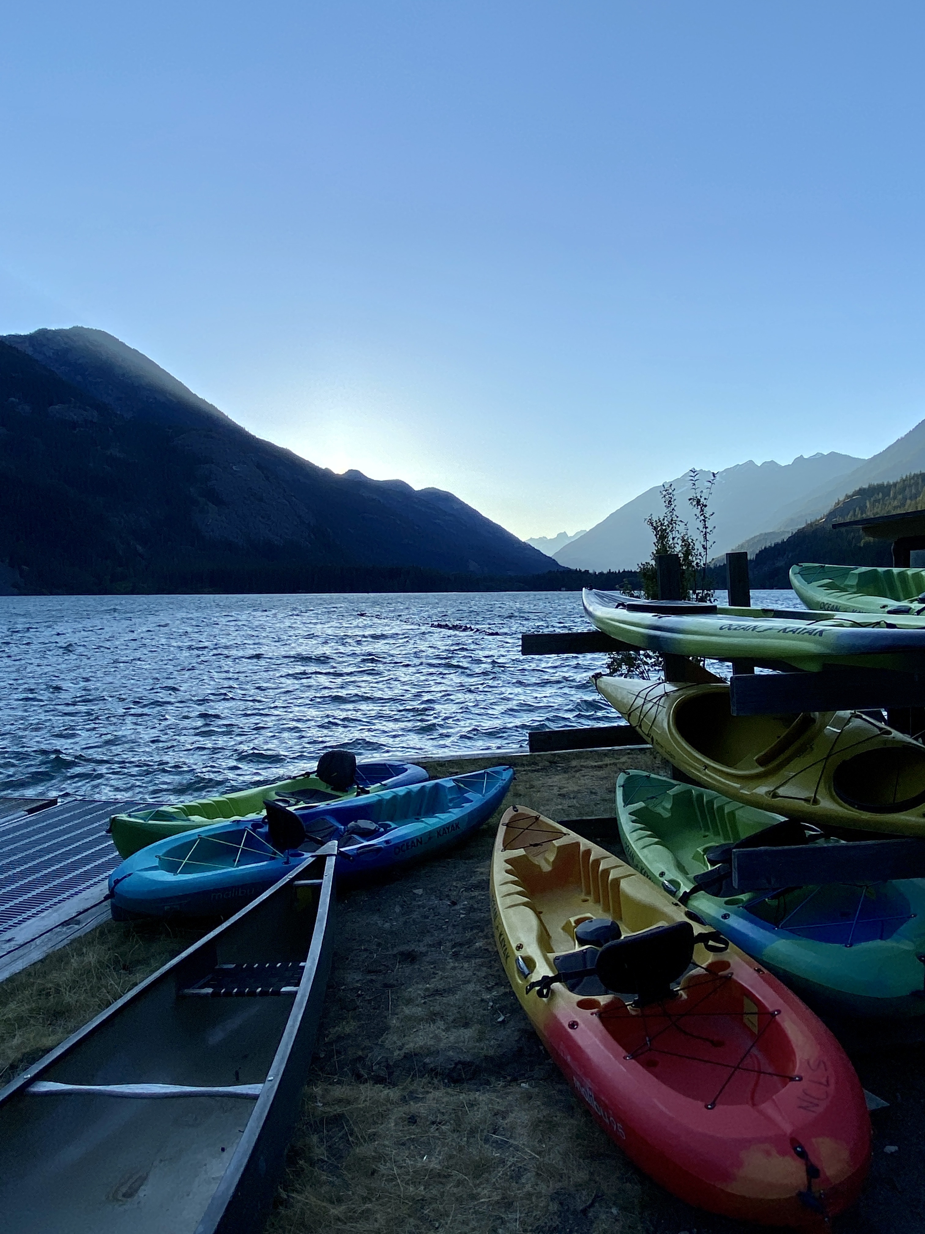
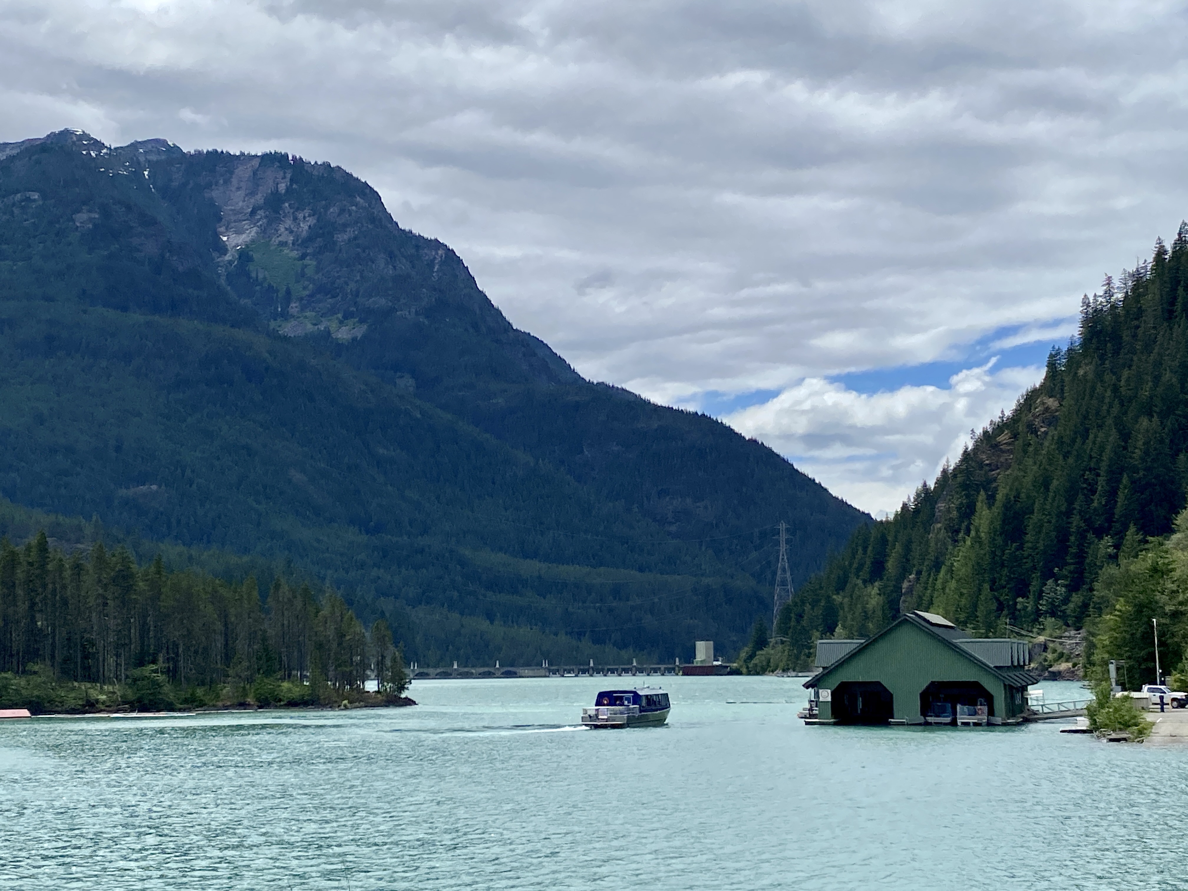
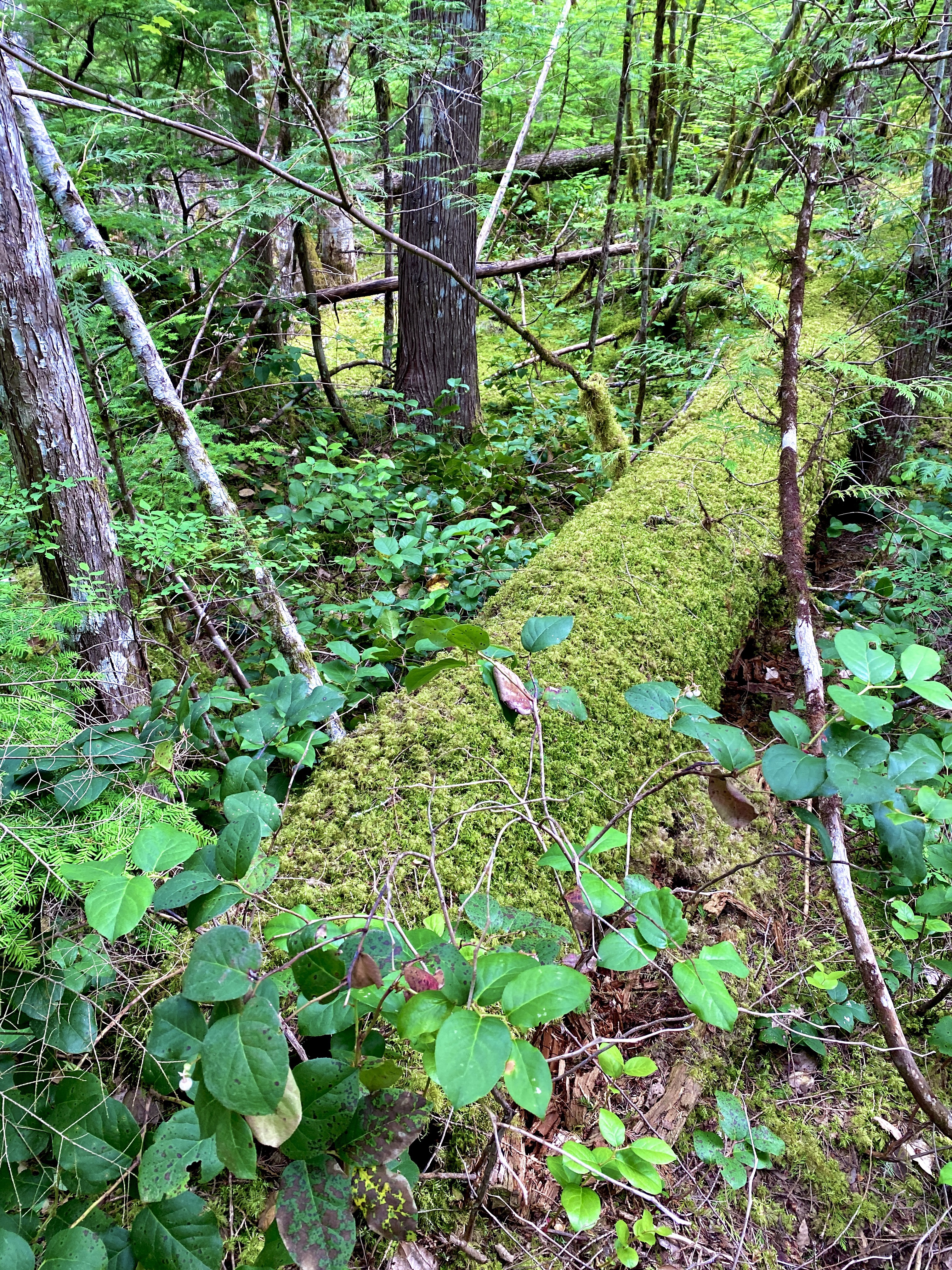
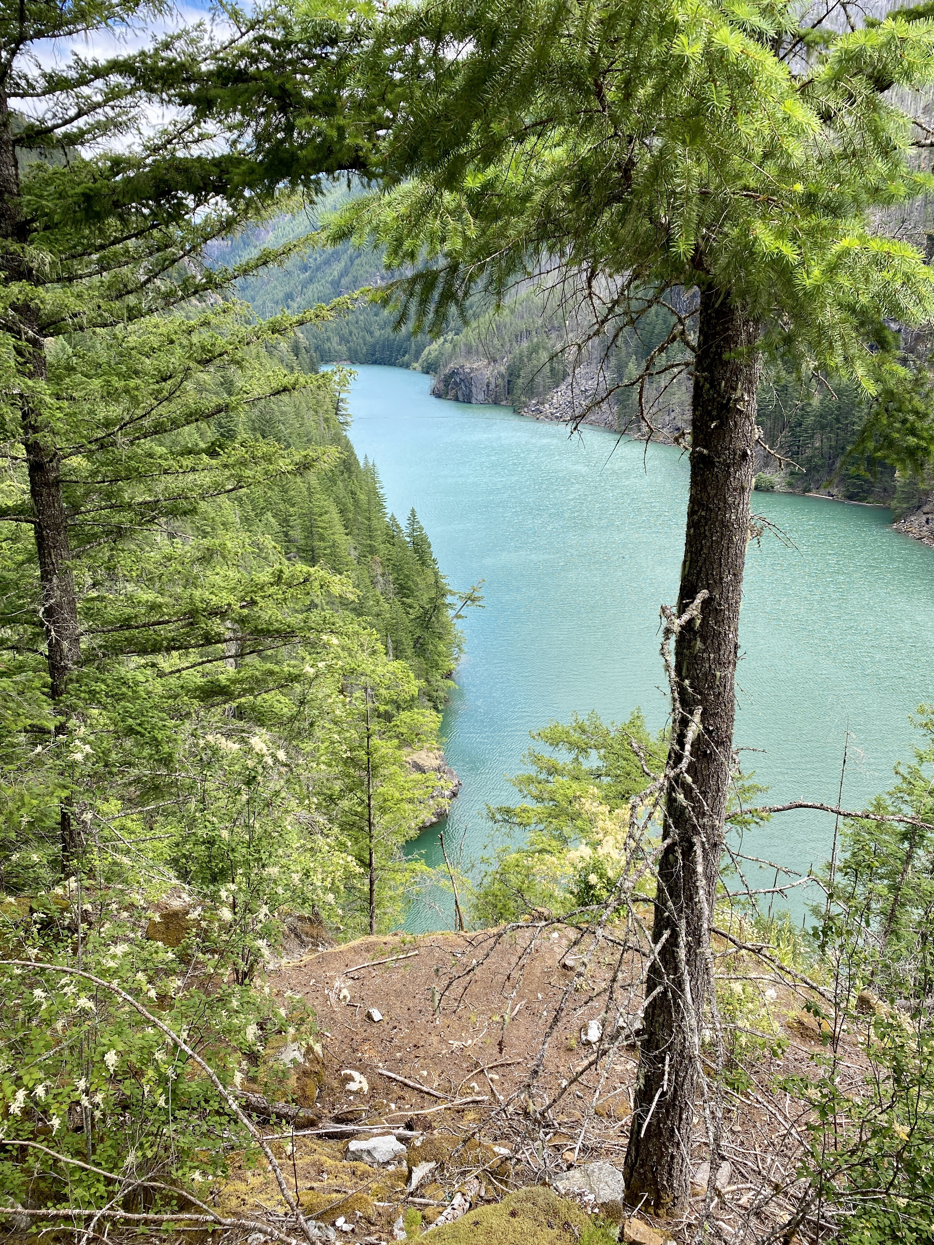
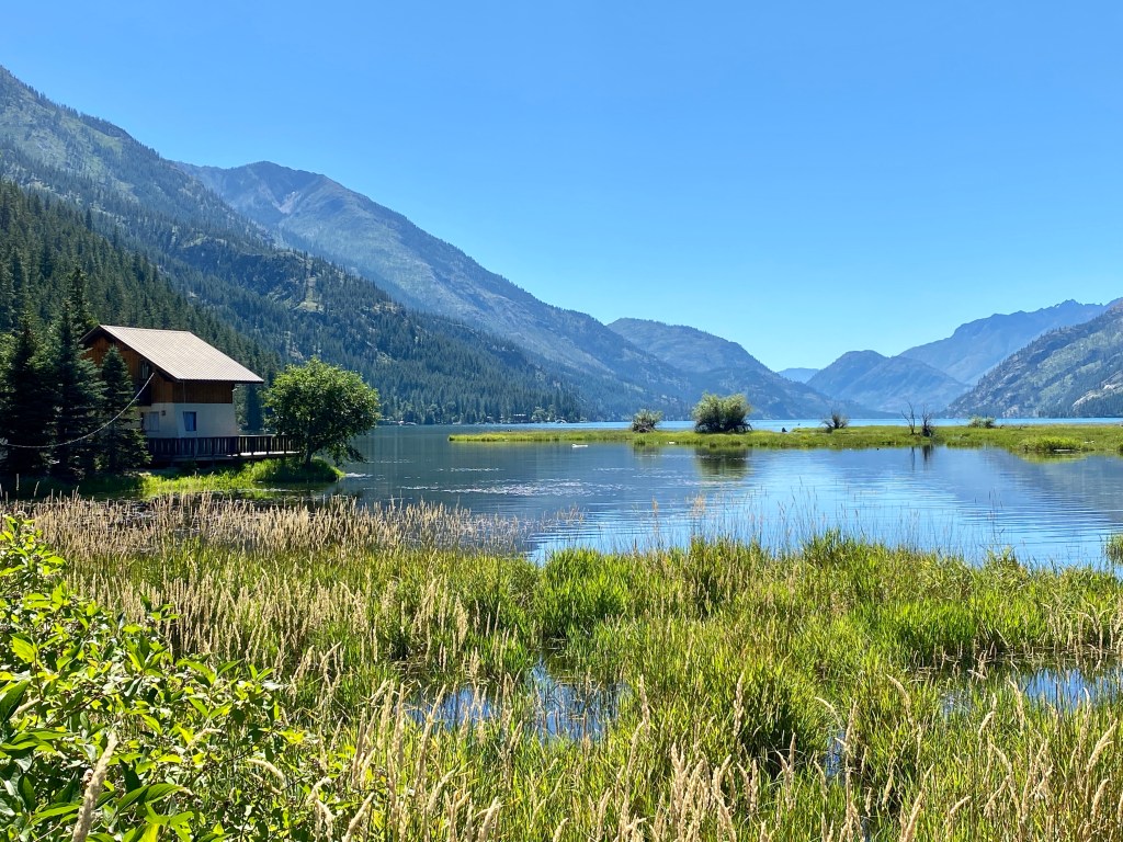
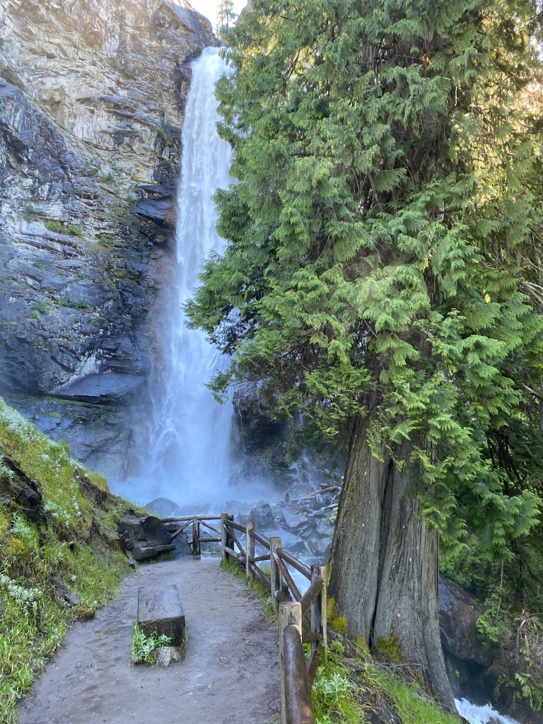
In the garden Stehekin School Deer in the OrchardRainbow Falls The Bakery in the wilderness Launch Kayak Sunset Washington Pass Cones Lake Diablo Take me to Church Lucious Skaggit River
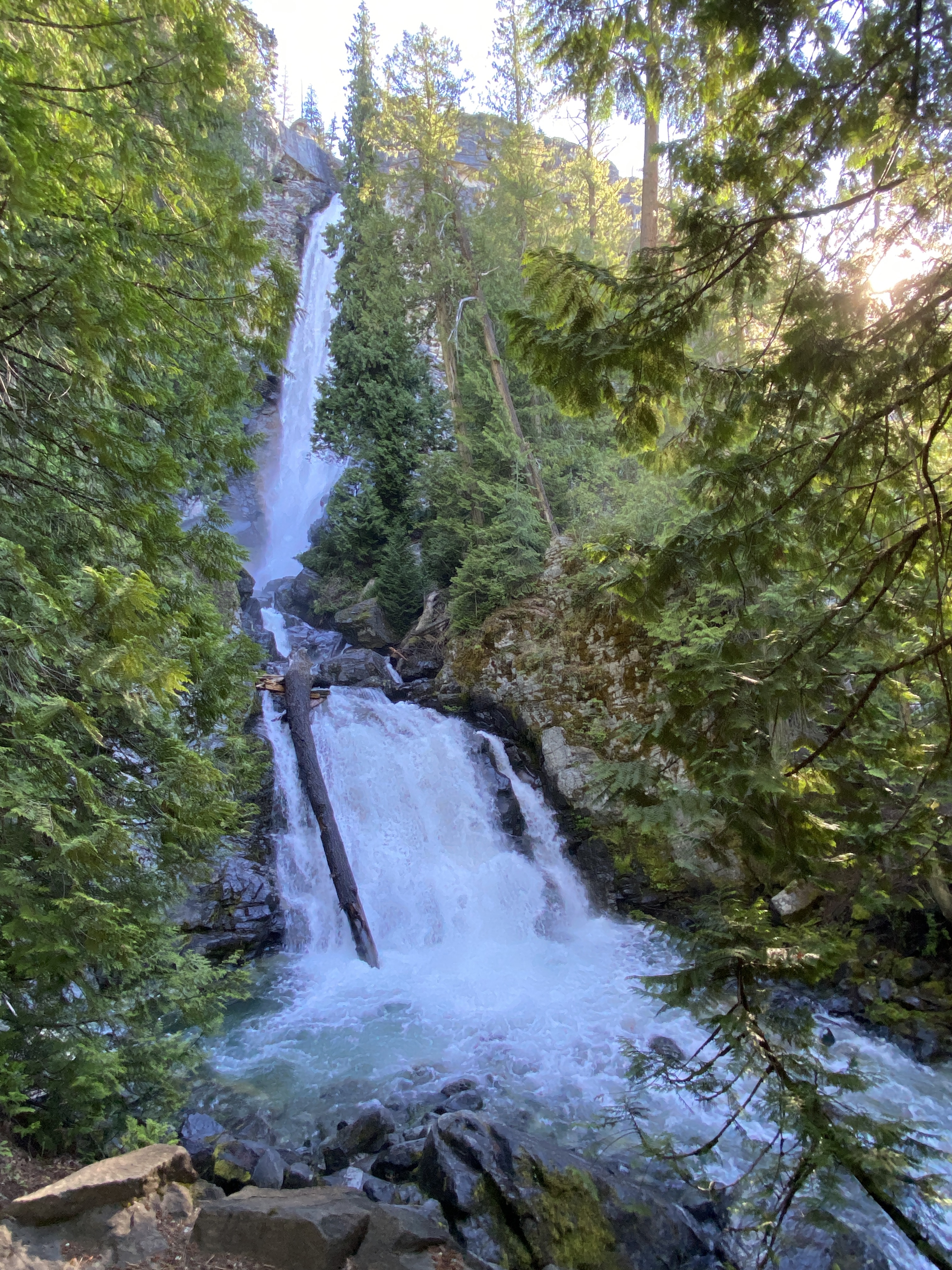
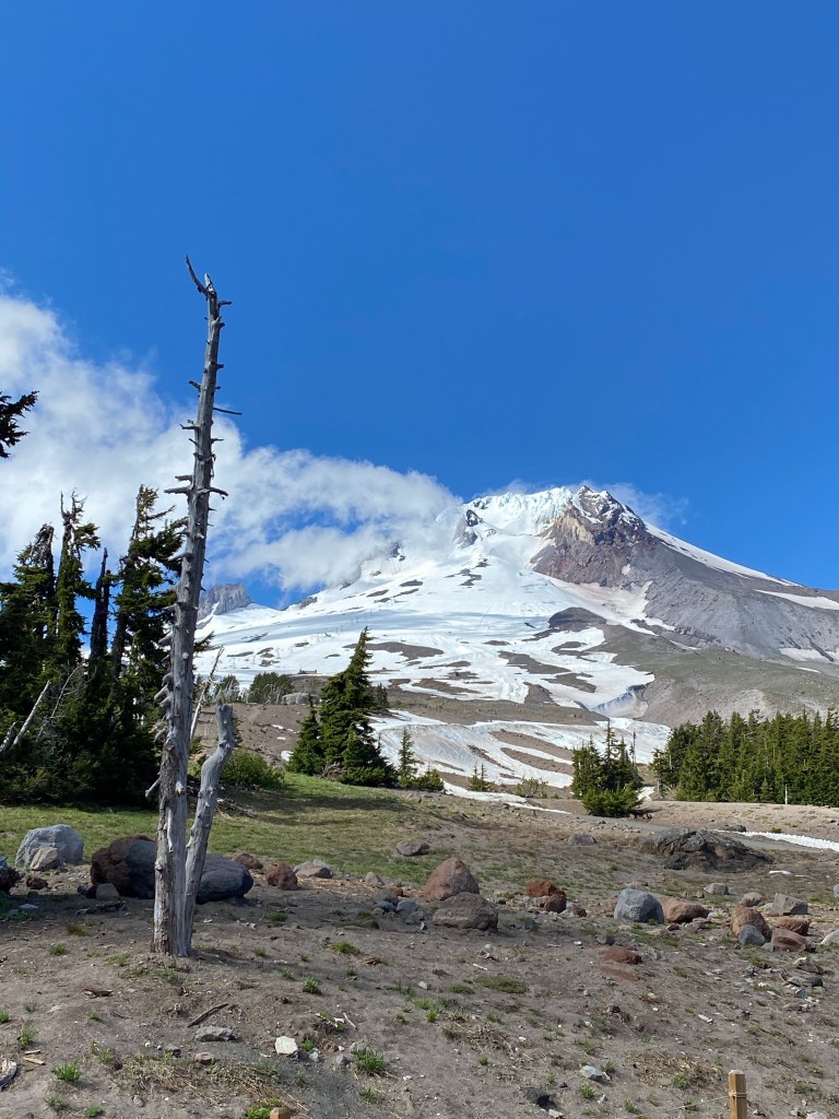
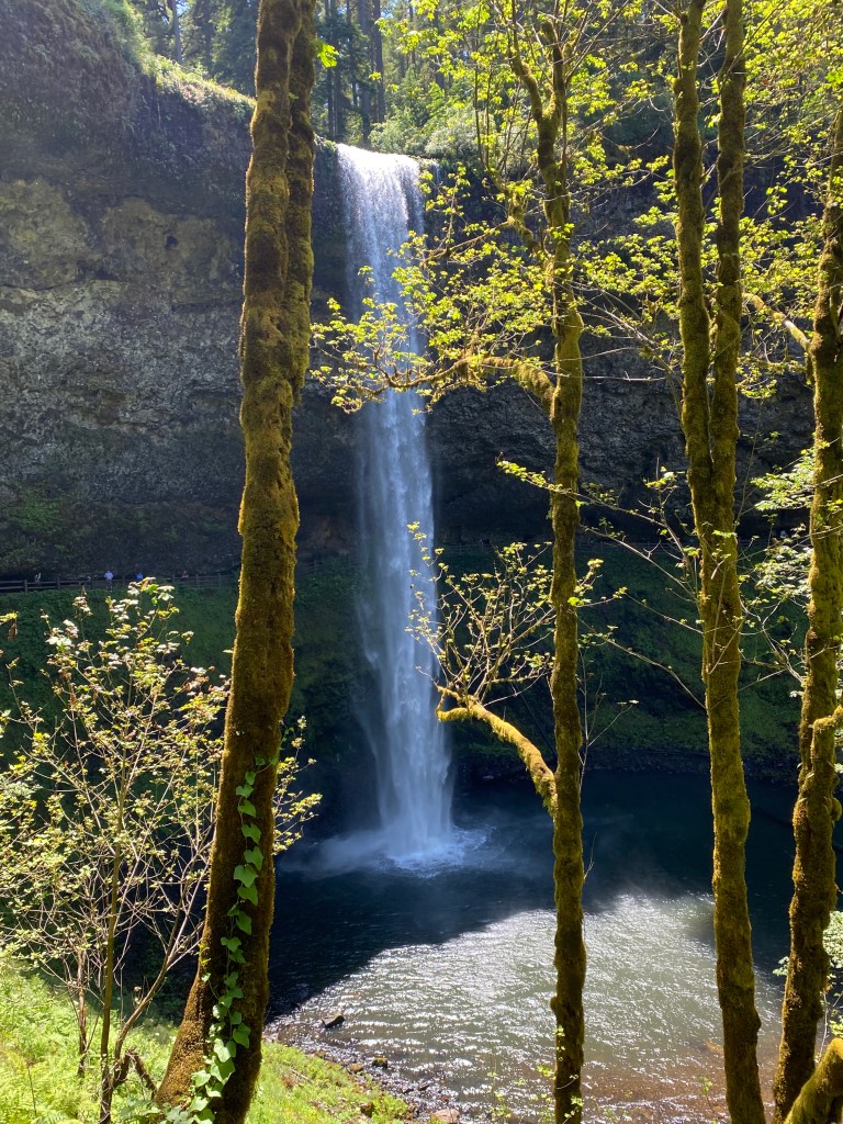
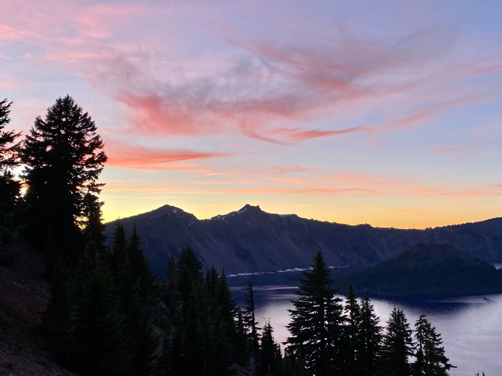
Two tectonic plates are colliding in the northwest part of the United States resulting in a landscape of volcanoes, waterfalls, and lava flows. Enjoy the tour…
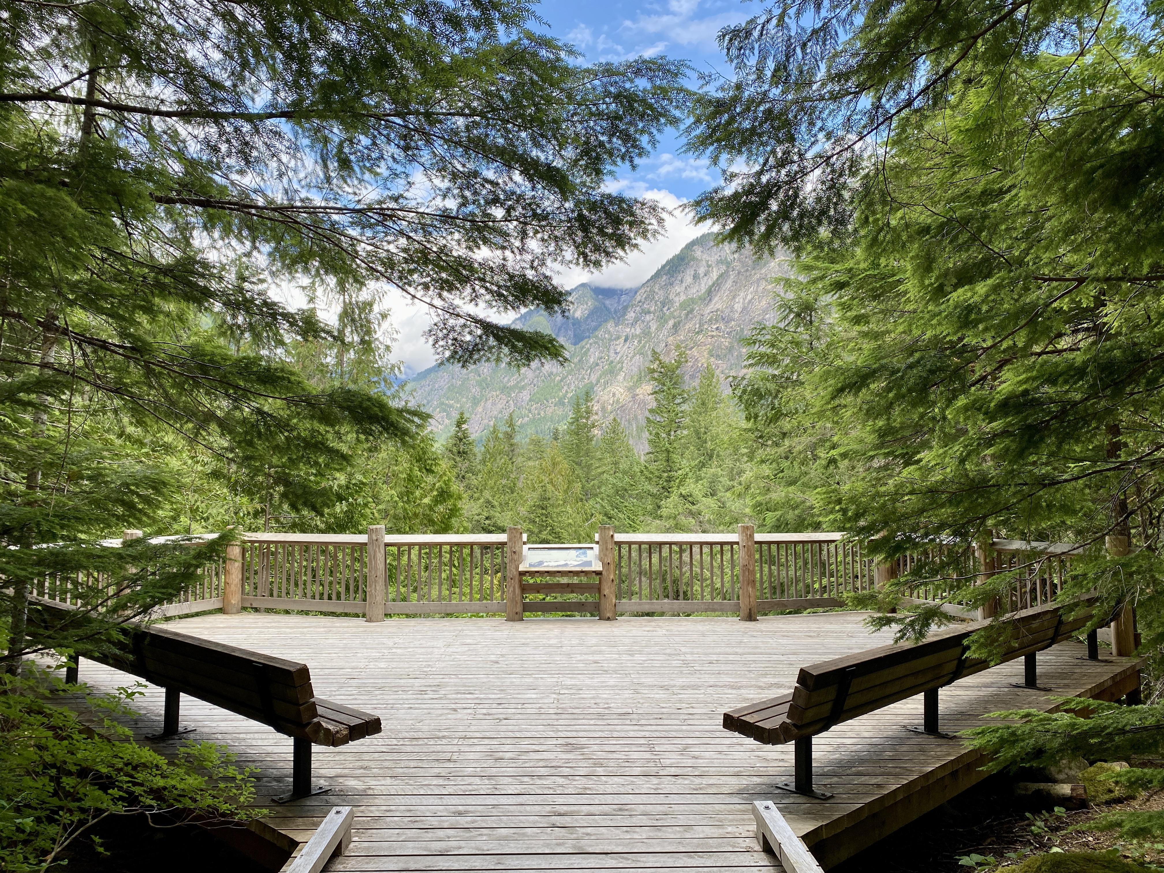
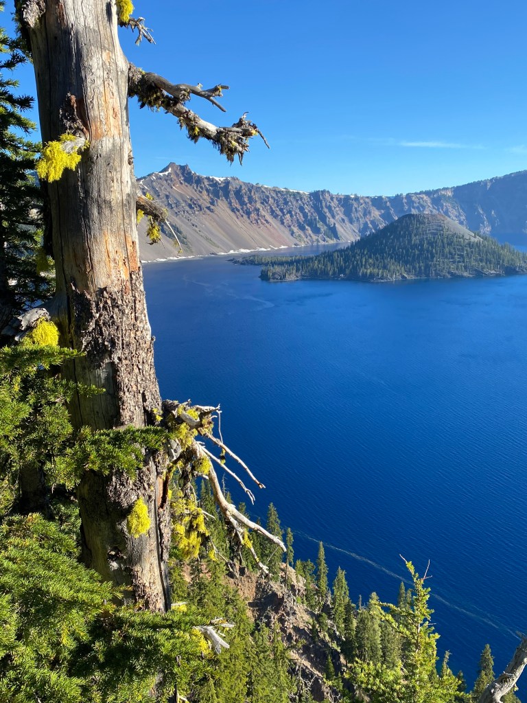
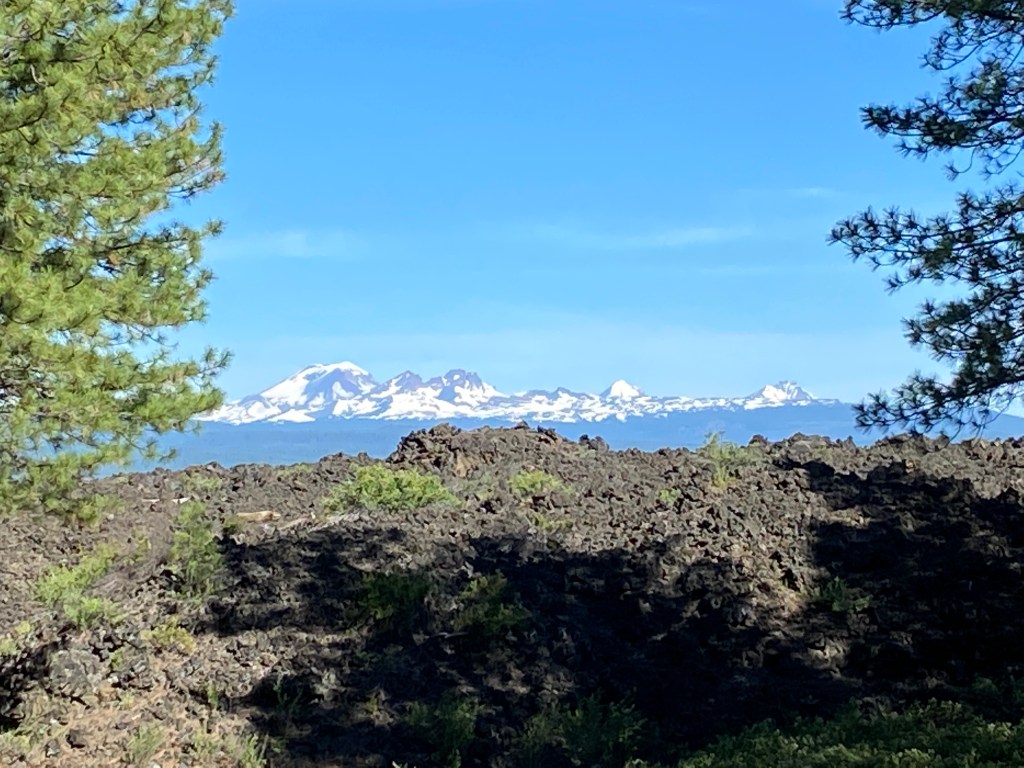
Mt Hood – the most active volcano – timberline lodgeA pine fighting for existence in an obsidian lava flow outside of Bend, ORSilver Falls State Park – Oregon Crater Lake NP – remnants of a volcano and a new cone emerging – Wizard Island Sol Duc Falls – Olympic National Park – water slowly erodes the granite mountains Lava Flow in foreground – the Three Sisters in background. Those mountains are stratovolcanoes Washington Pass North Cascades Stehekin, WA. Lake Chelan a glacier carved valleyRainbow Falls, North Cascades NP The mist – the namesake Sunset at Crater Lake
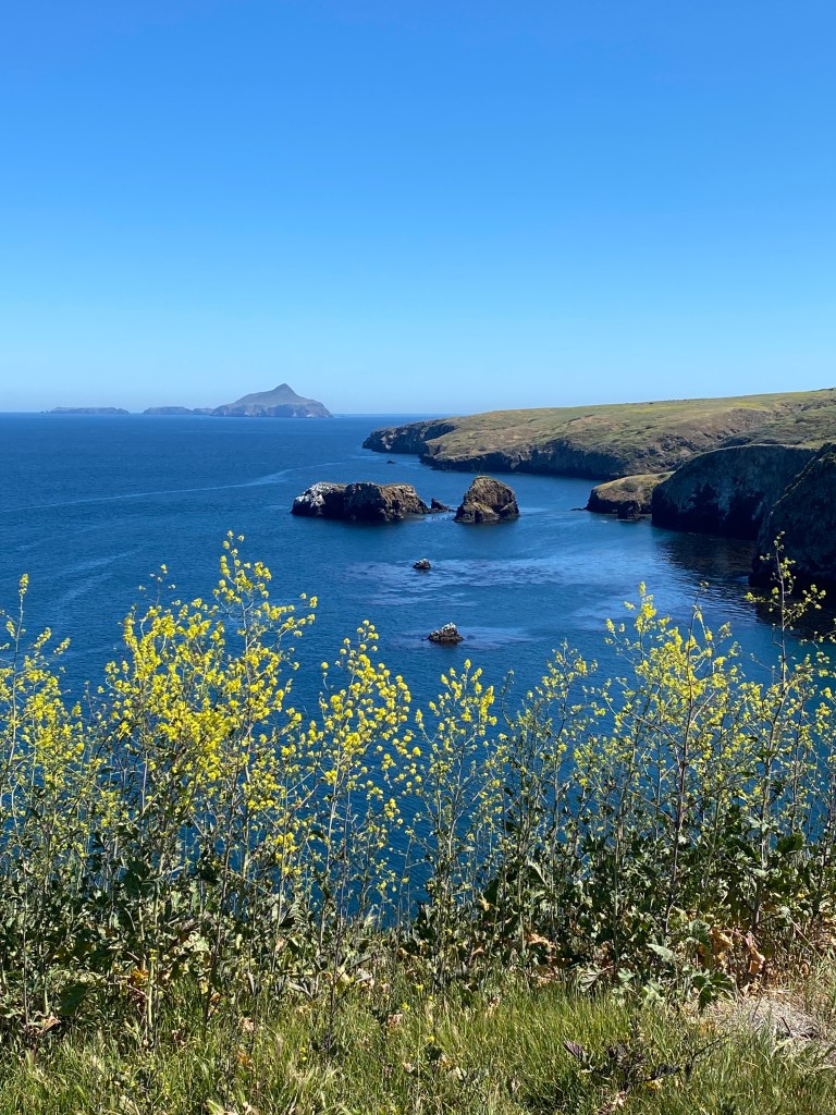
As a child, I was intrigued by Bugs Bunny’s efforts to find Pismo Beach and “all the clams I can eat”. Central California offers a relaxed atmosphere, shrubby landscapes, and a complex history.
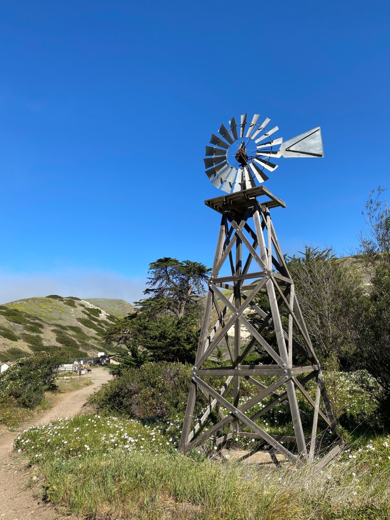
Cliffs of Pismo Beach The world is a little tilted in California 🙂 Peaceful, rugged, colorful Nearby, the Channel Islands provide even more remote opportunities for beauty The Island Fox Abloom Remnants of destruction or “progress” Beckoning The mysterious Solvang, a Danish City in America
We can use this for sure
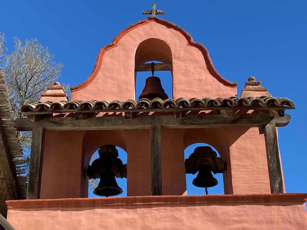
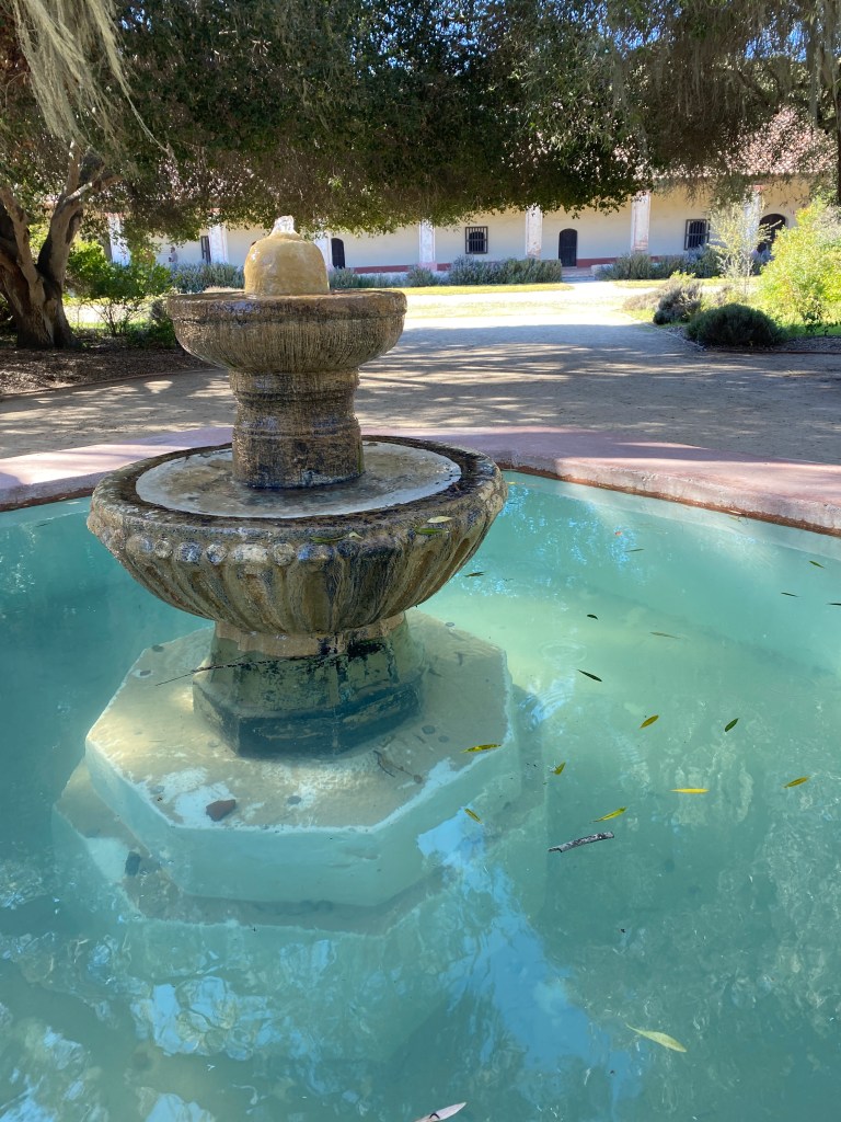
Mission La Purisima – part of that complex history Spring water Oxnard Beaches The famous garden of LotusLand Baklava in Santa Barbara
Fact: it’s really hot in Tennessee and Mississippi in the summer.
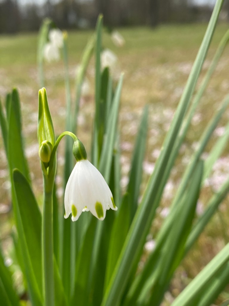
Fact: springtime flowers bloom a little sooner in the south, than in the north.
Fact: solo travel allows for maximum sightseeing with no negotiations. 😊
The State of Mississippi on the Natchez Trace Scenic Route
Spring break at a beach is crowded. Spring break to out-of-the-way state and national parks provides low crowds, no mosquitoes, and perfect temperatures.
I explored Western Tennessee and Northern Mississippi for a few days. The travel conditions were ideal. Here are a few glimpses of the equinox magic.
Fort Pillow State Historical Park Pinson Mounds State Park and Archaeological Site – a solar calendar Chickasaw State Park – Tennessee CCC masterpiece Big Hill Pond State Park a Tennessee swamp, dam, and foothill. Shiloh National Military Park. A place of unimaginable pain and suffering. At Shiloh, I choose to remember the spring beauties instead of the graves. This photograph greeted me at Pickwick Landing State Park Lodge. A Bald Eagle joined me for dinner. In Corinth, MS – I was reminded that the Civil War still has many issues to resolve We are all in this togetherTishomingo River in Mississippi. The namesake of a proud Chickasaw Chief. A beautiful place to hold a war – a civil war. Redbuds emerging in the Magnolia State. Tishomingo State Park. Mississippi Cannons along the Cumberland River in Tennessee at the Fort Donelson National Battlefield .
There were plenty of things to see, eat, and do. These were my favorite images.
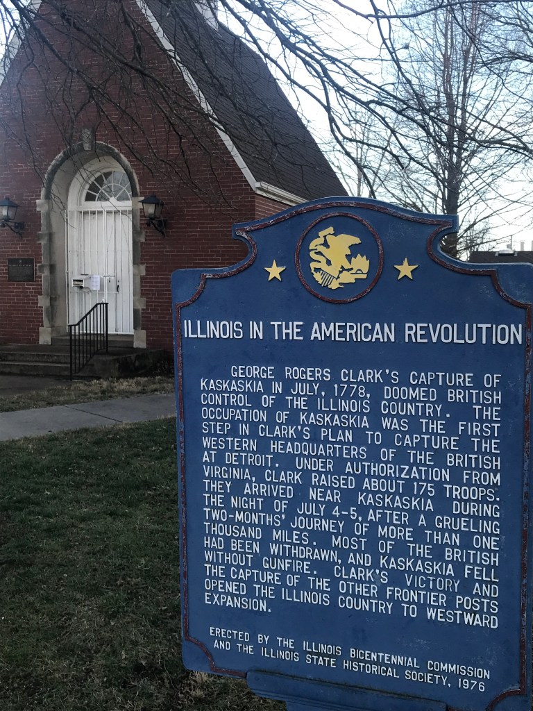
Illinois was first colonized by the French on the Mississippi River. The Kaskaskia area contains the secrets of that time period.
Grandpa’s hat traveling with us
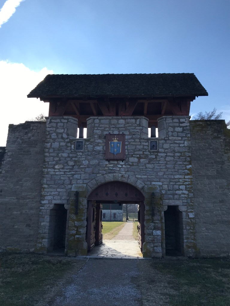
Fort de Chartres provided a staging area for the French communities in the area: Prairie du Rocher and even Ste Genevieve in Missouri.
The rear gate TorchlessThe Turret
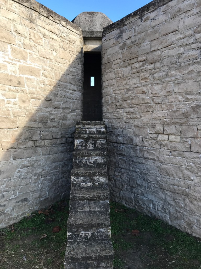
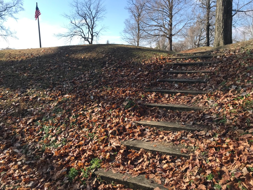
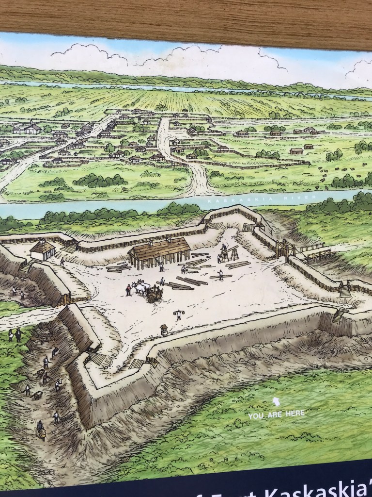
Fort Kaskaskia down the river didn’t fare as well.
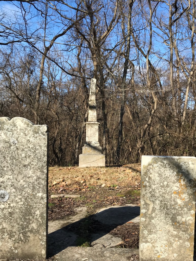
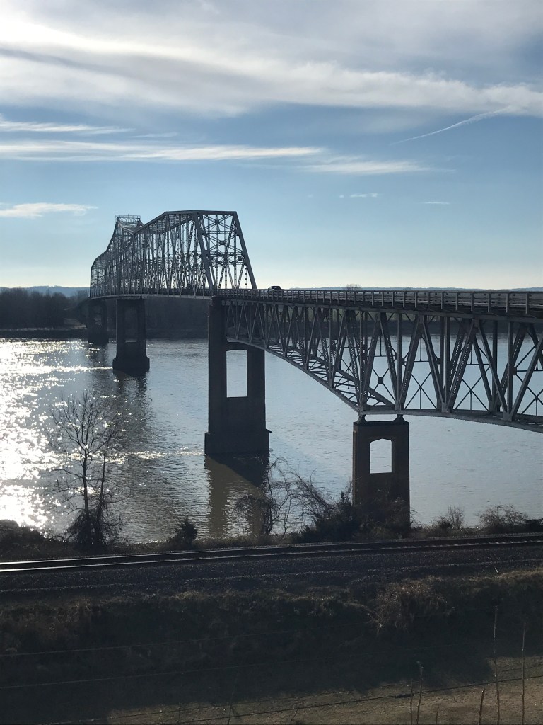
Leading to the Ruins Deterioration of the Walnuts The tombstones of two hundred years The Chester Bridge
The only way to get to the old city of Kaskaskia Illinois is to cross the Mississippi River and drive through Missouri. This is the only section of Illinois west of the Mississippi River.
Much Discord A strange, strange tale
Kaskaskia was the most populous city when Illinois became a state, and it served as the capital for a few years.
1741 – French Colony
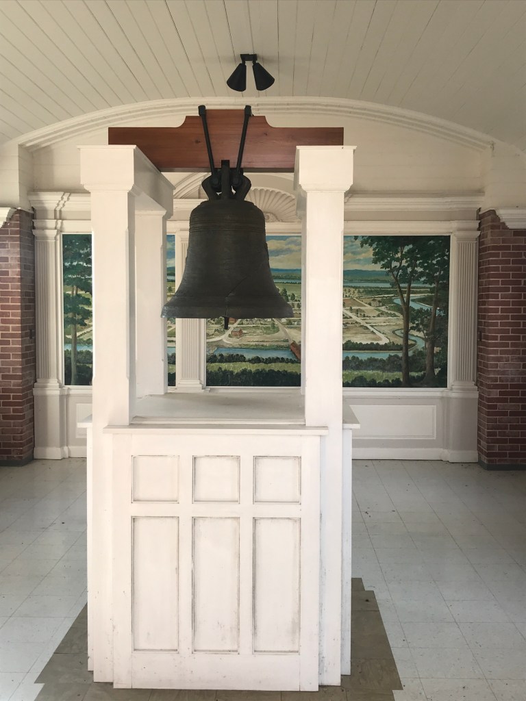
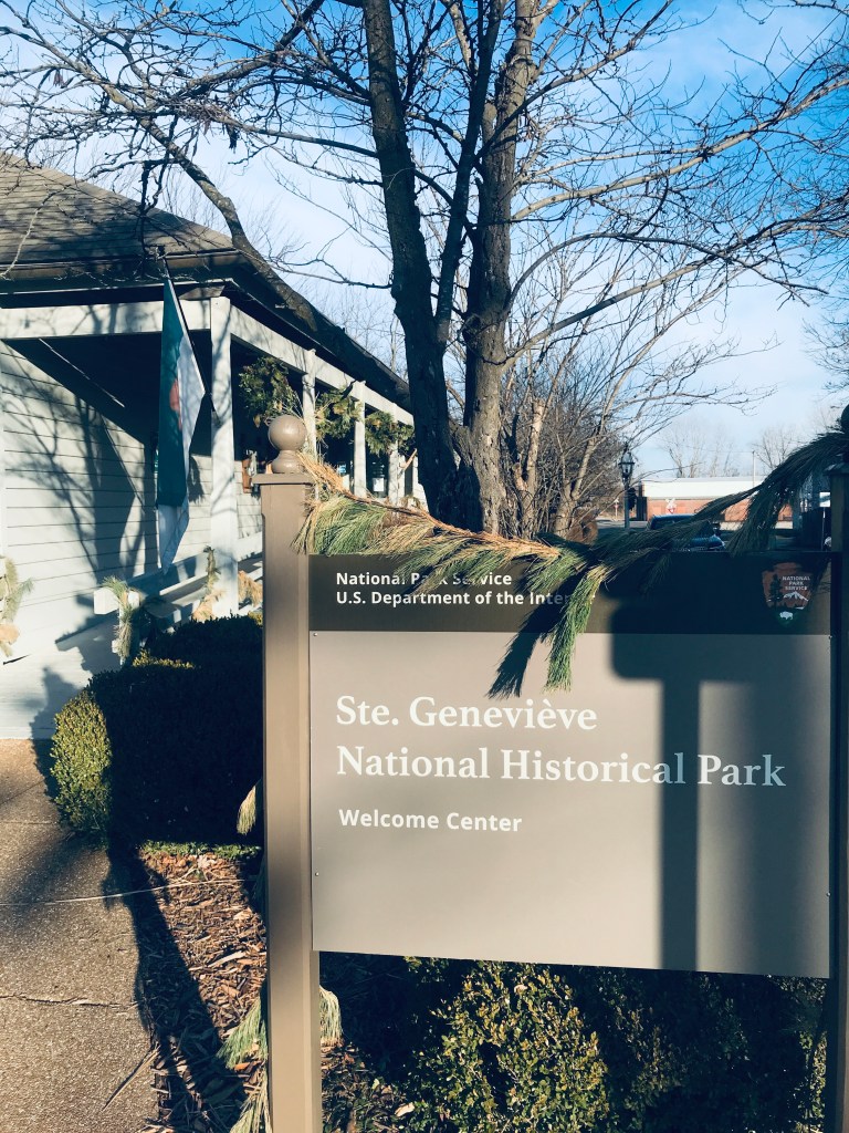
Ste. Genevieve, MO is the oldest continuously inhabited city in Missouri. Kaskaskia and Ste Genevieve are in the same area.
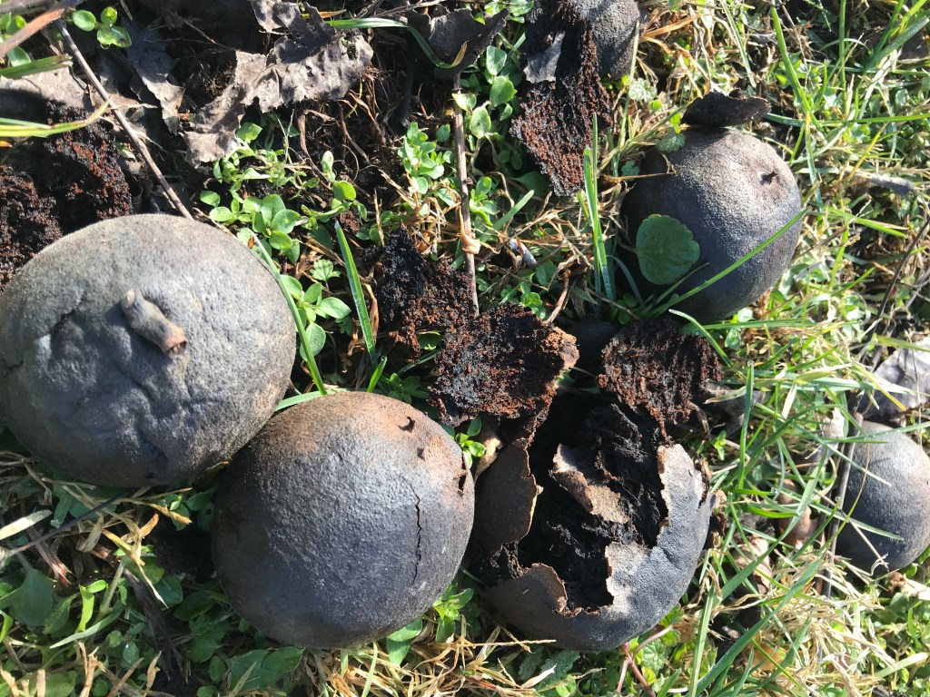
The newest National Park Land Rich French Colonist The Quick Lime Factory The rerouting of the river
In 1881 a major flood wrecked the area and the Mississippi River took over the Kaskaskia river channel. This is how this section of Illinois ended up on the “wrong” side of the river. In the map, the Mississippi is in the background. But in 1881 the mighty Mississippi took over the river in the foreground.
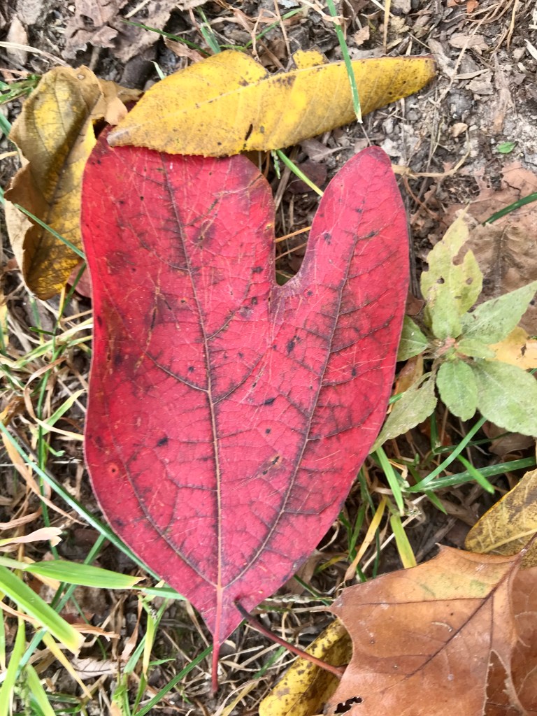
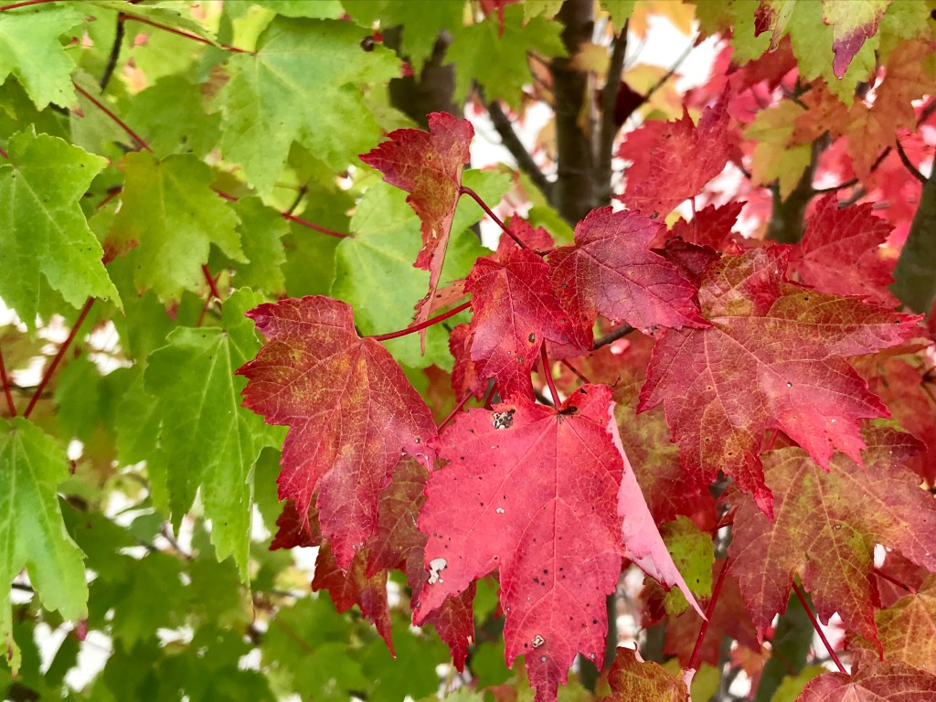
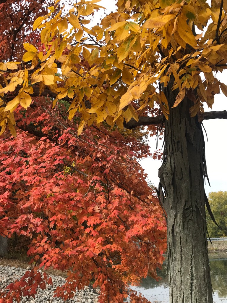
We drove across Illinois on one of the United State’s oldest highways – US 50. Enjoy a snapshot of fall in the Midwest.
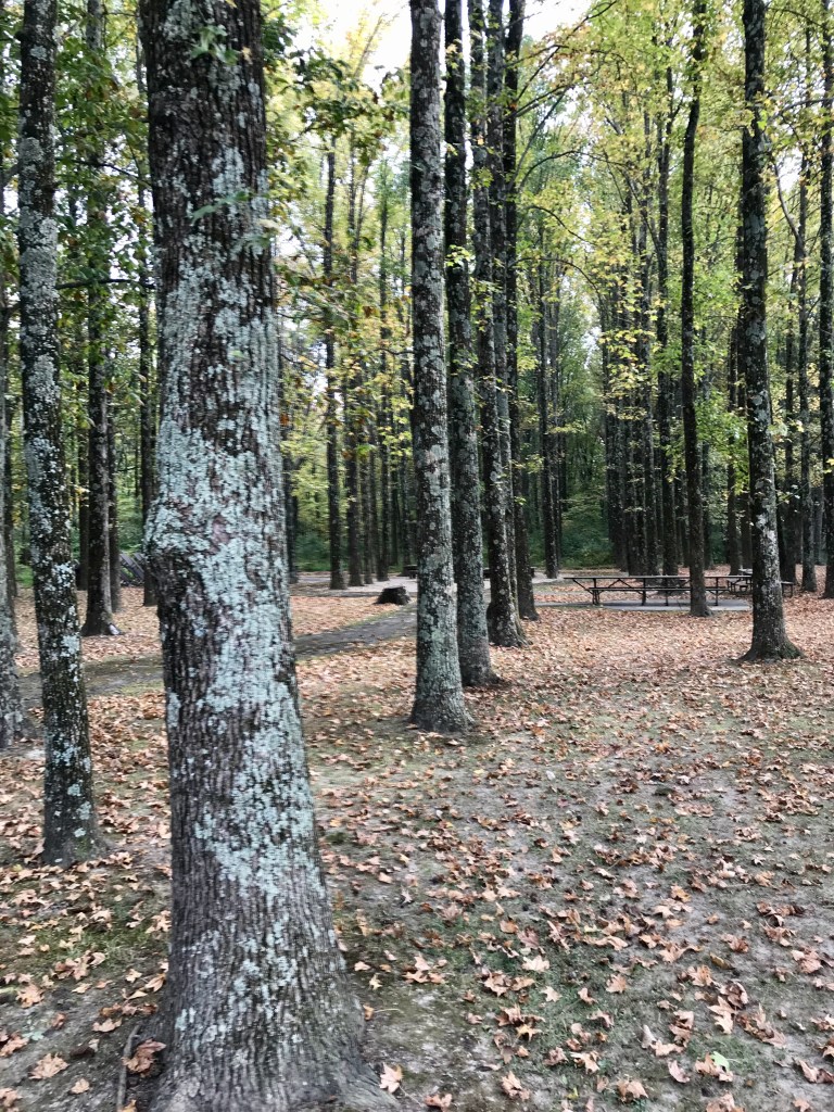
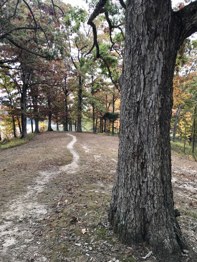
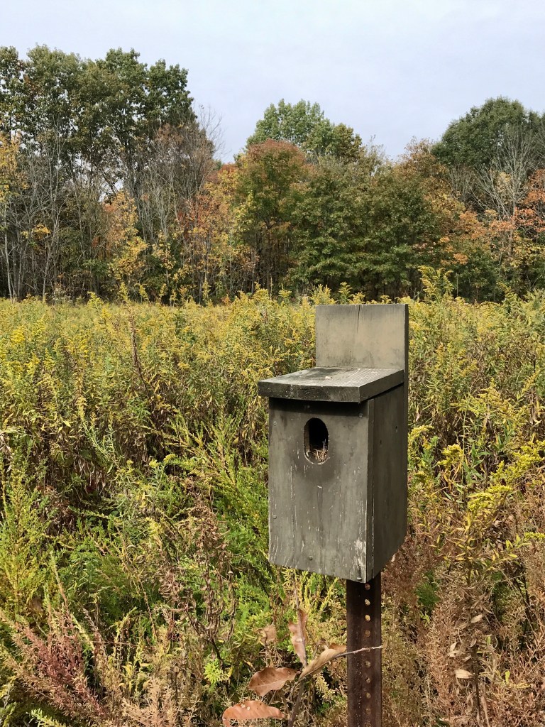
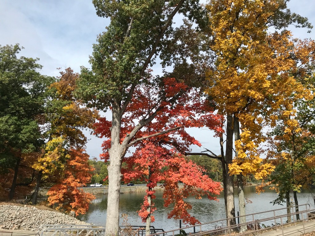
Black gum leaf imitating a sassafras or vice versa? Realism collided with Impressionism MetamorphismThe Shagbark Hickory Forbes State Park shows offThe Lincoln Bridge to Vincennes over the Wabash Sweetgums all in a row at Beall Woods State Park Wanderings Food glorious food! Looking at Illinois from Indiana A geologic anomaly and first land ceded to the US by the native inhabitants of Illinois. Red Hills State Park.
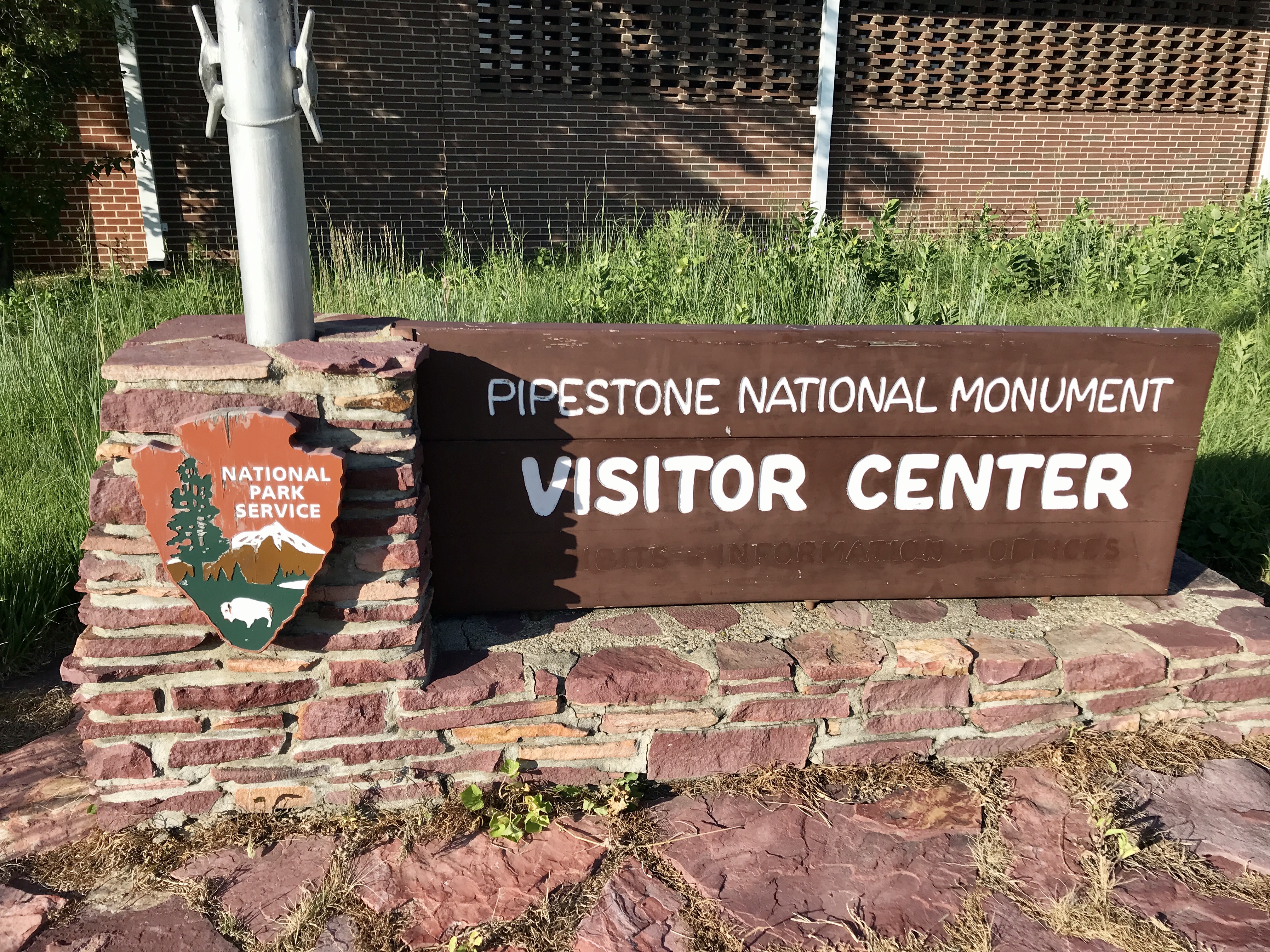
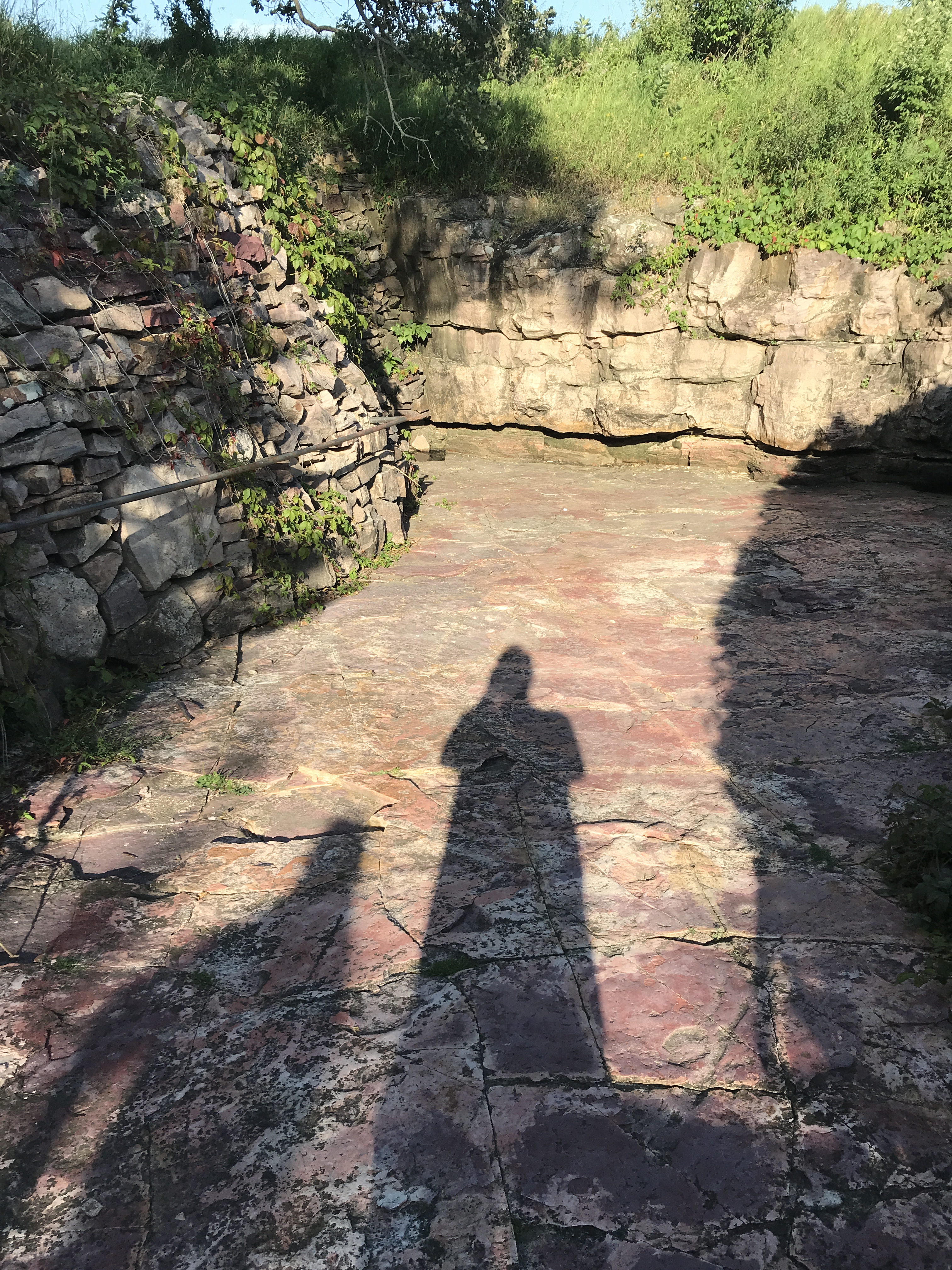
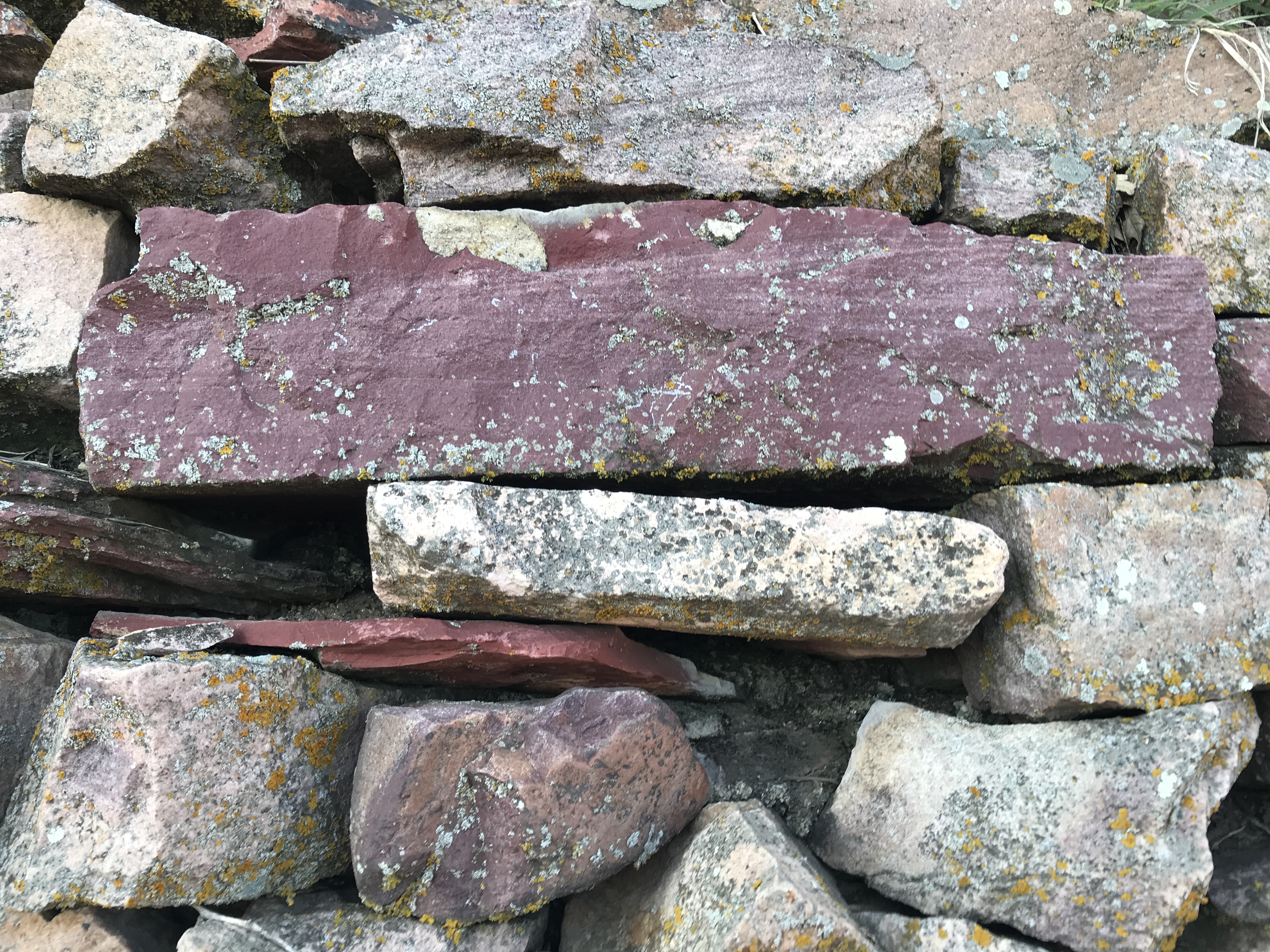
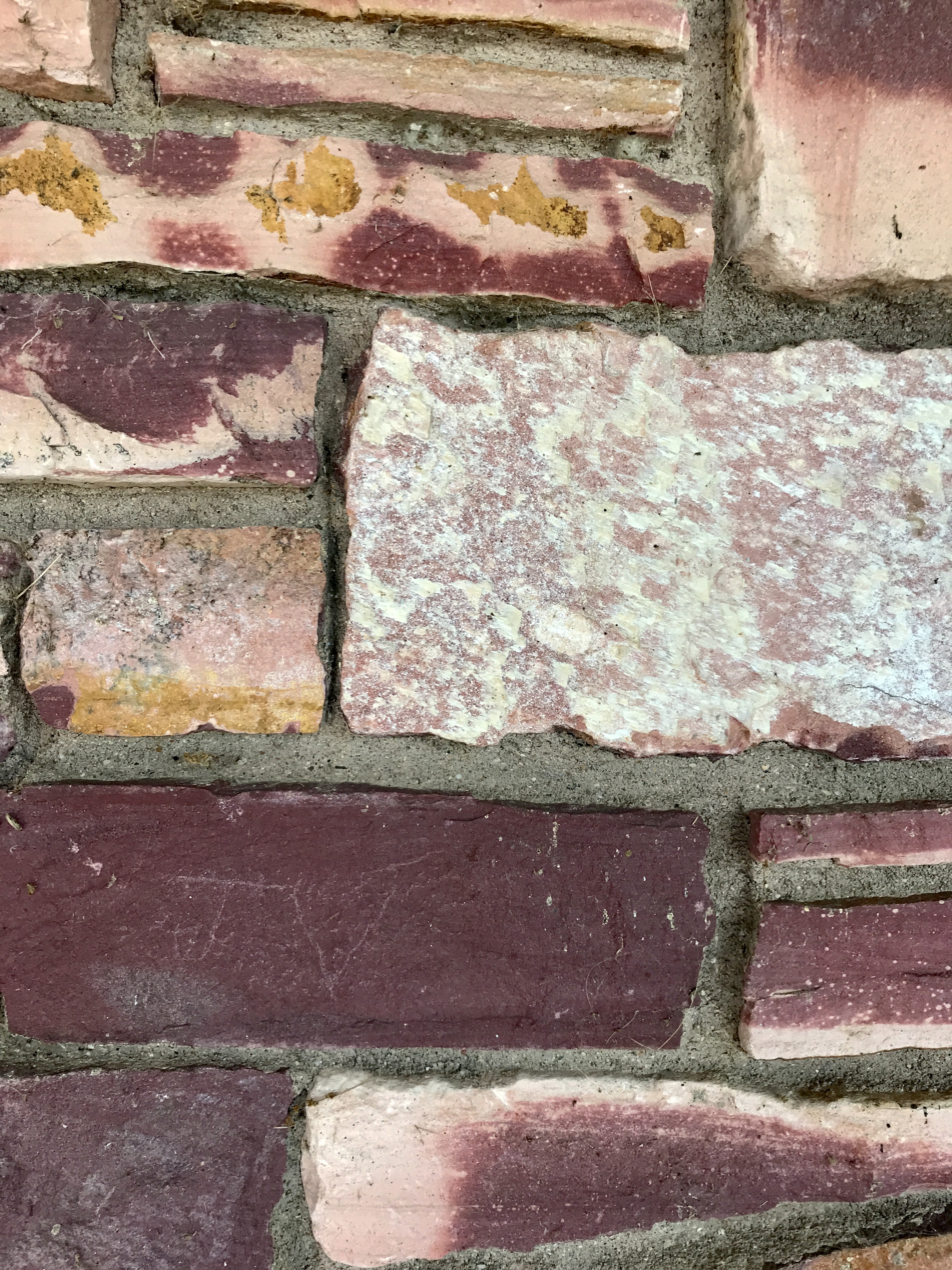
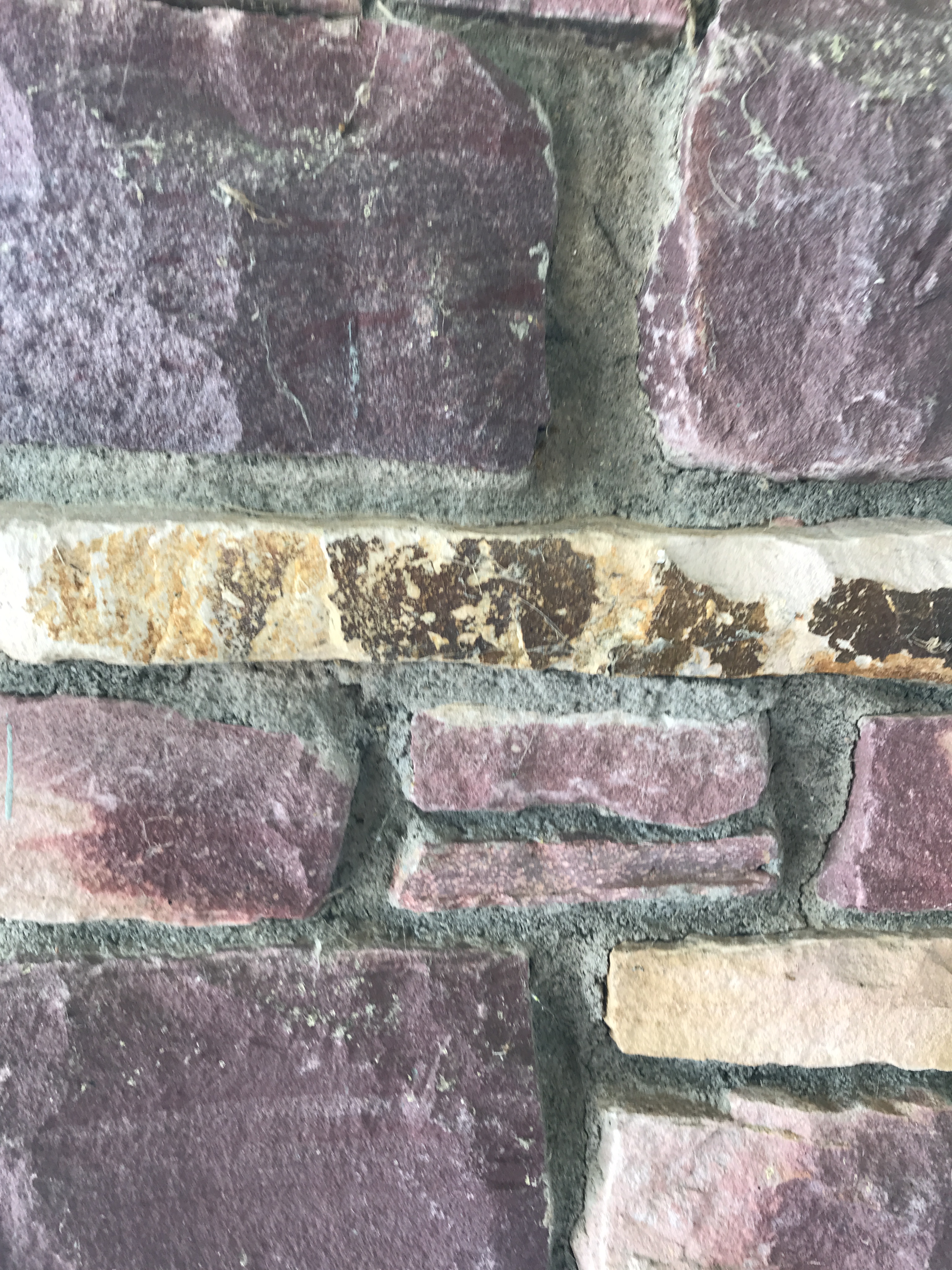
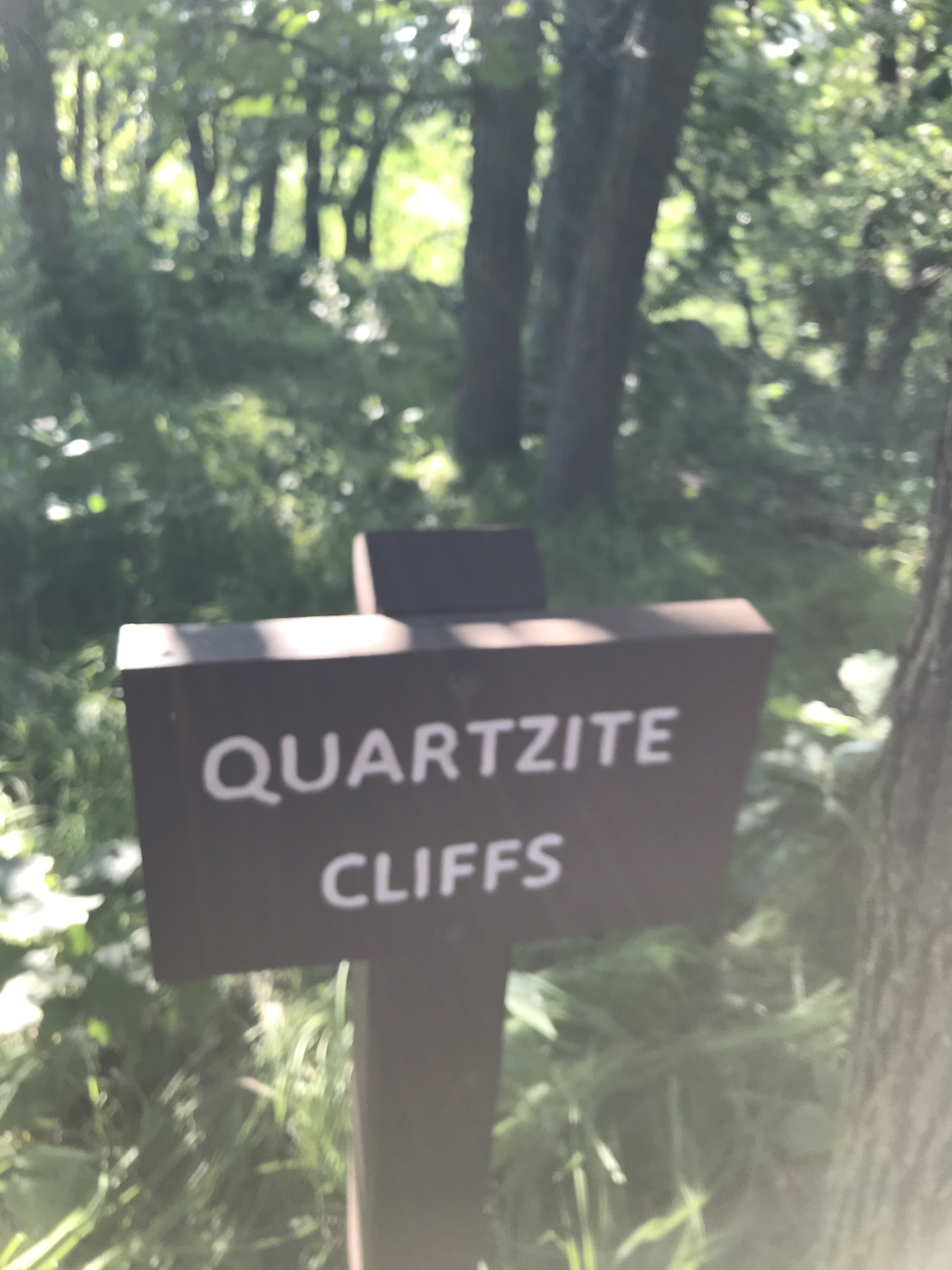
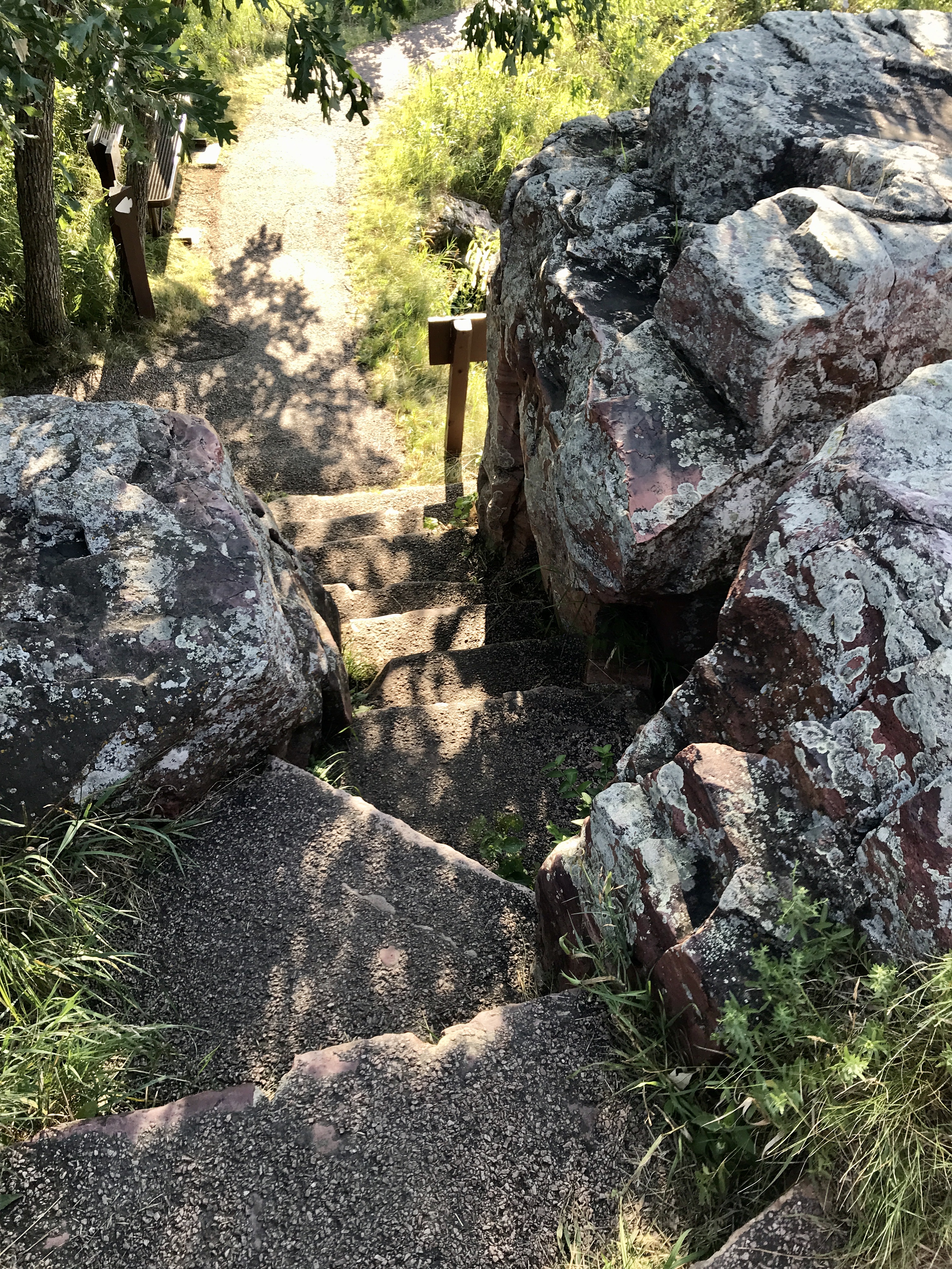
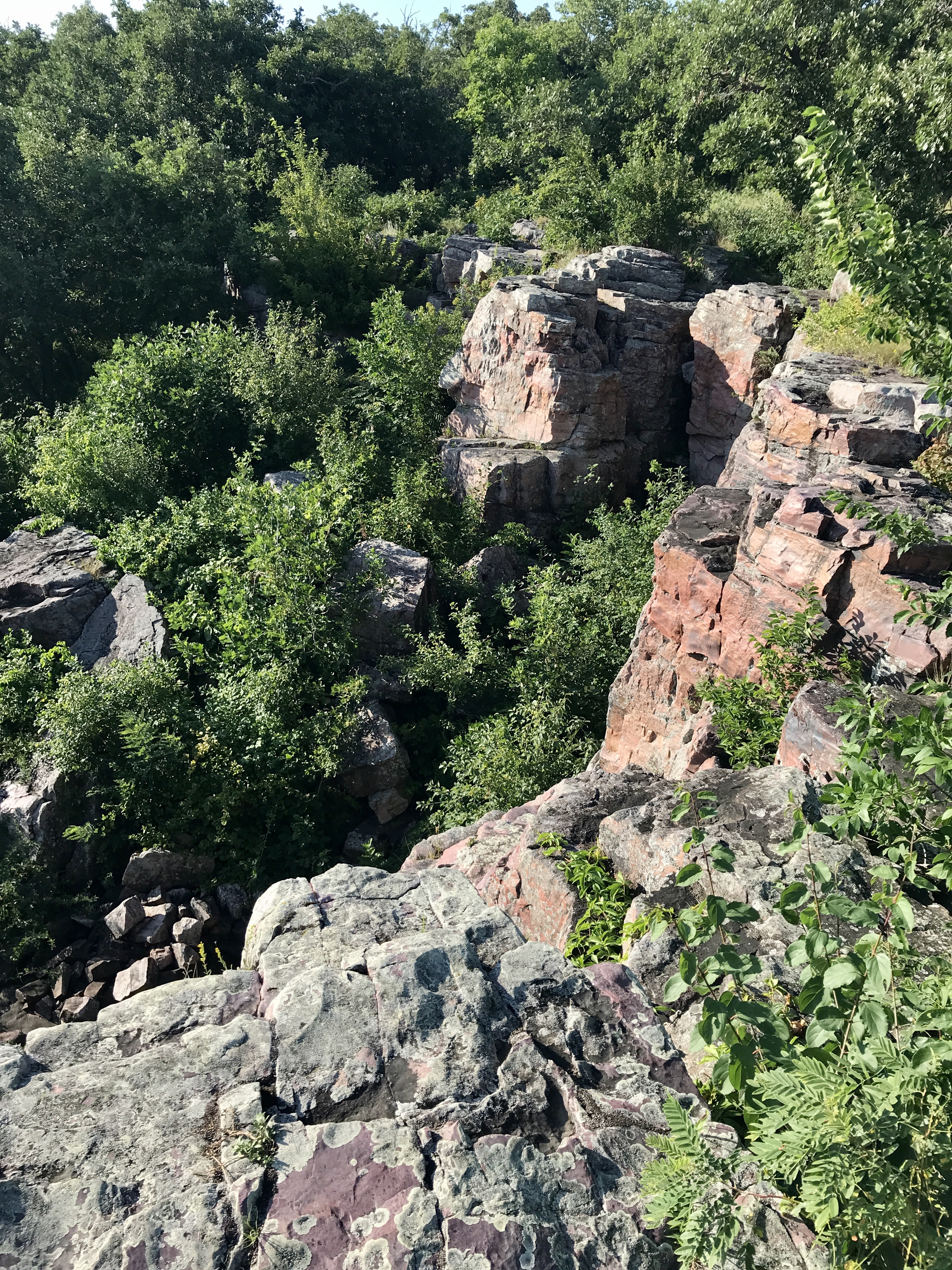
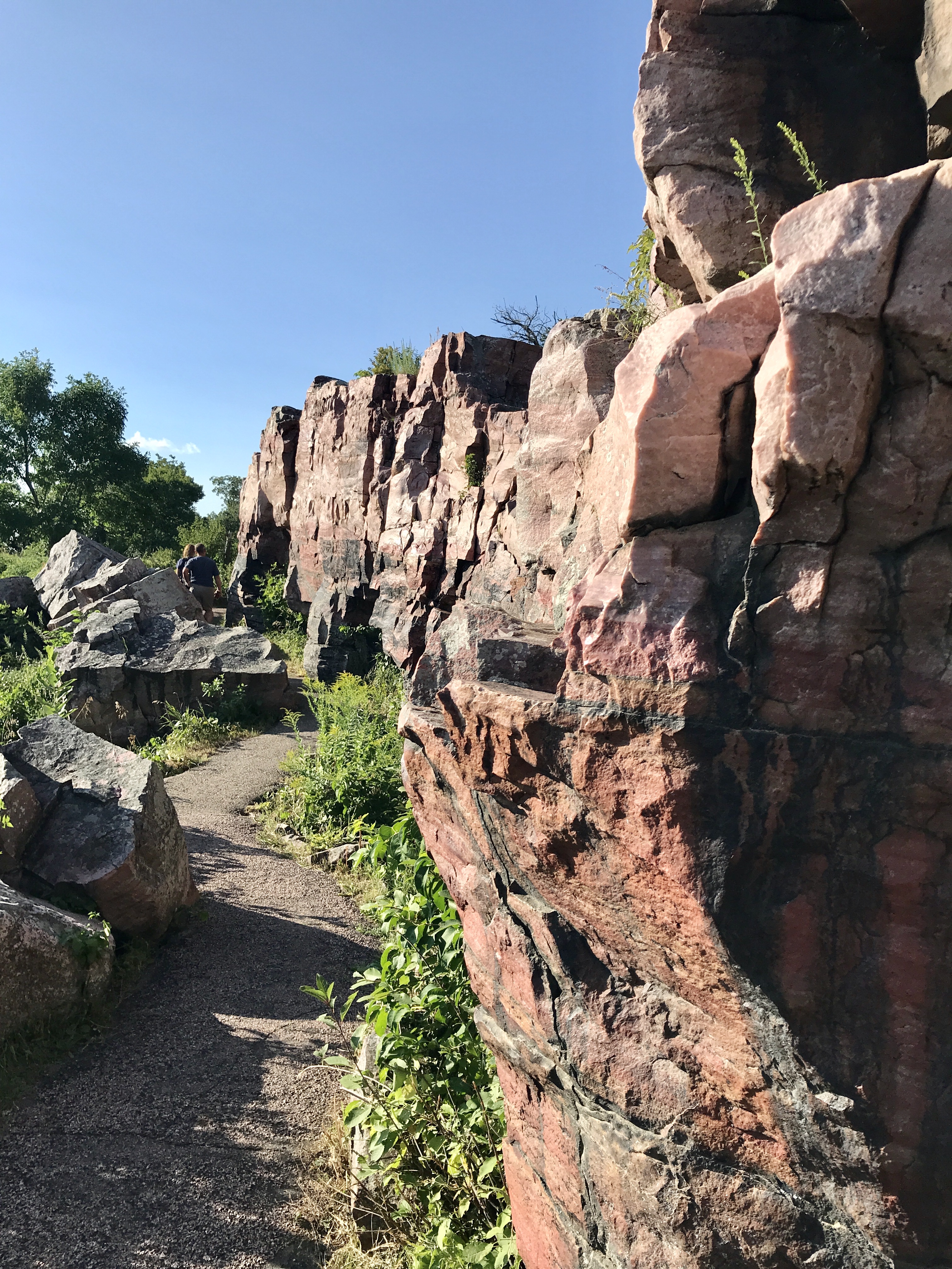
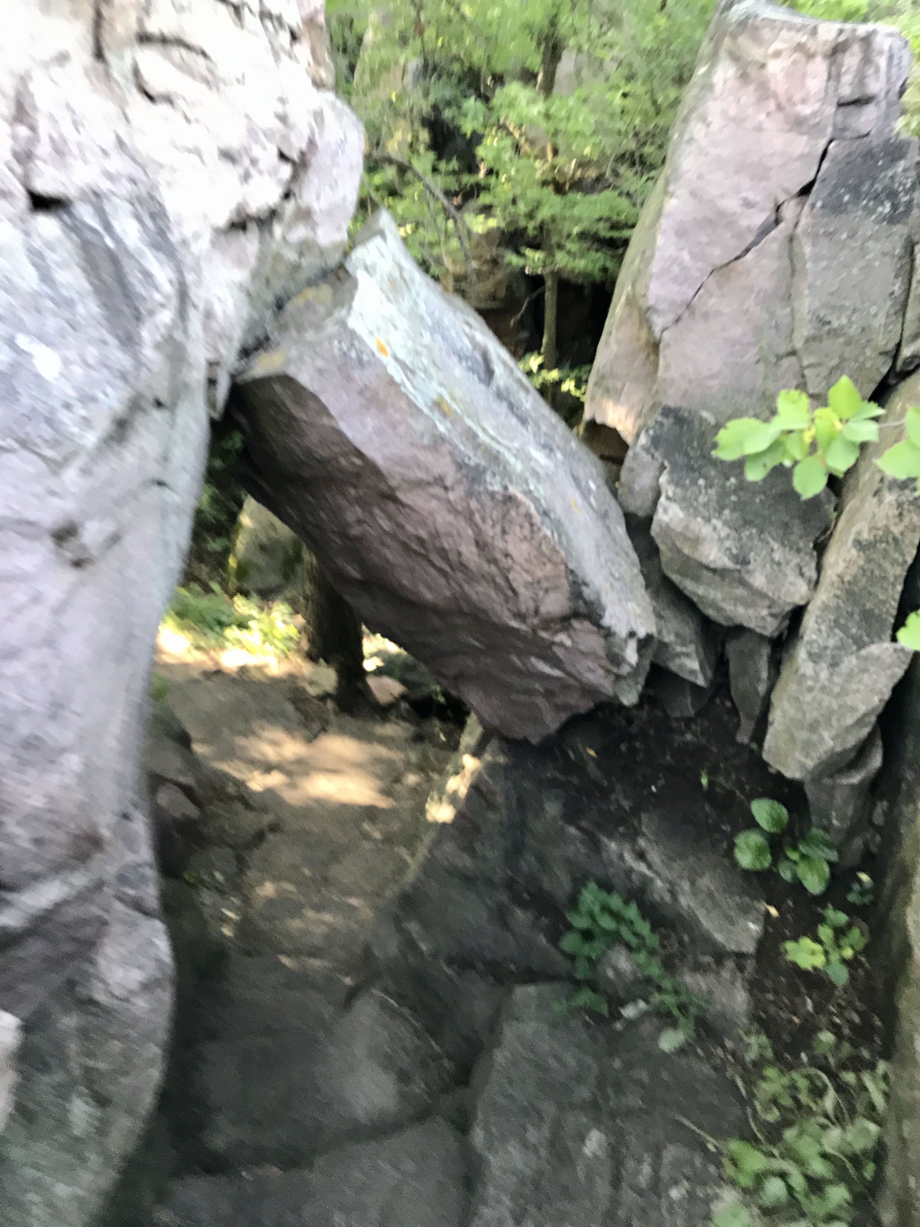
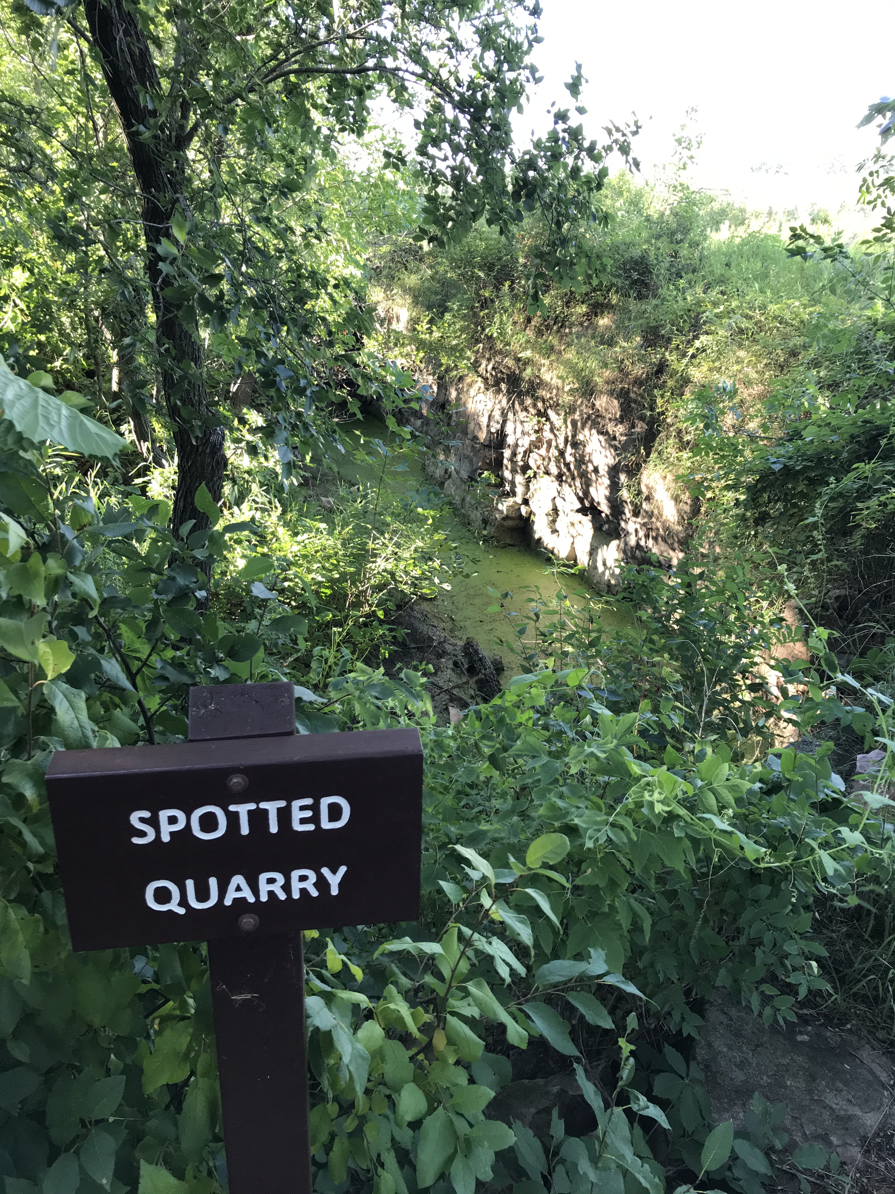
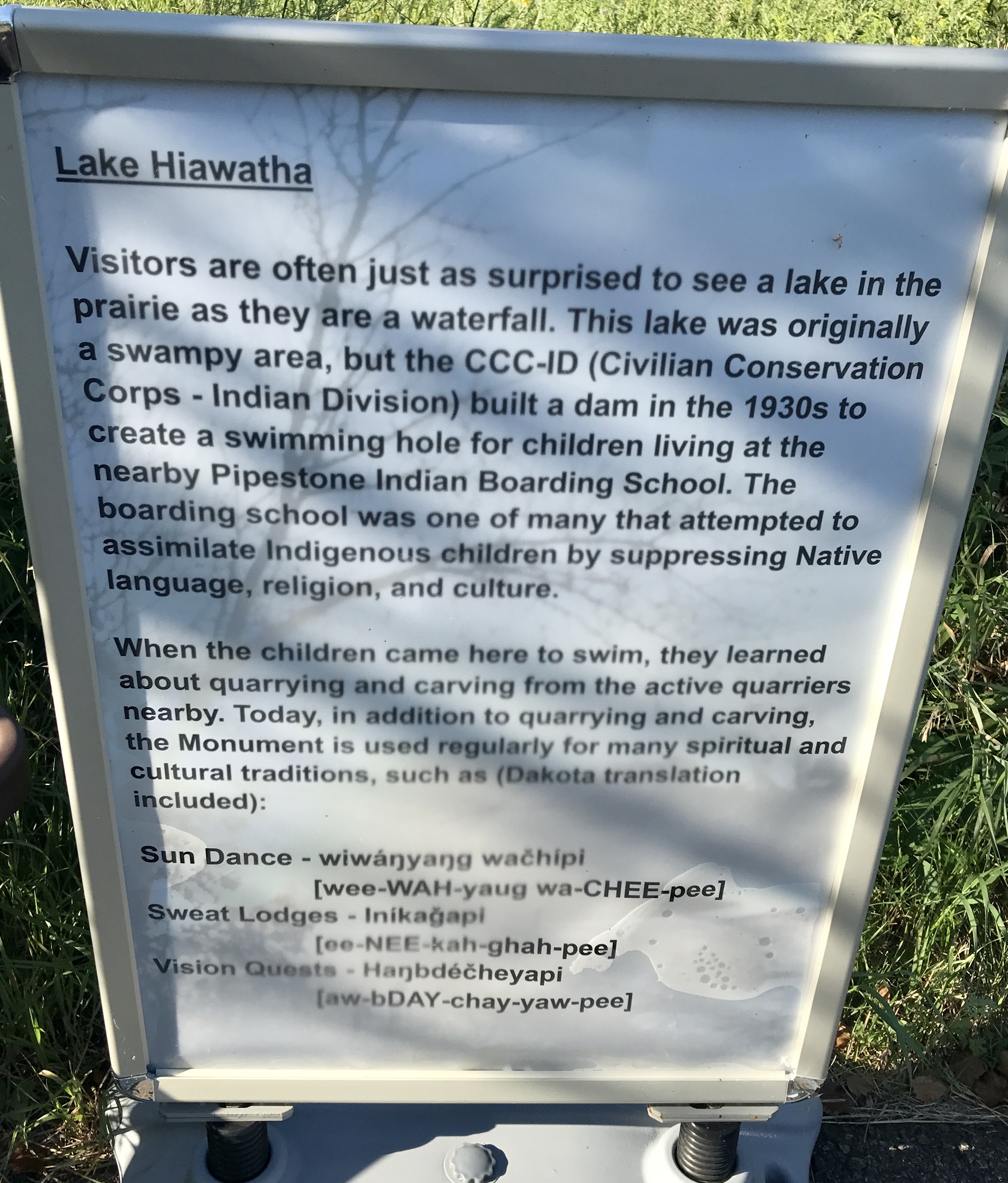
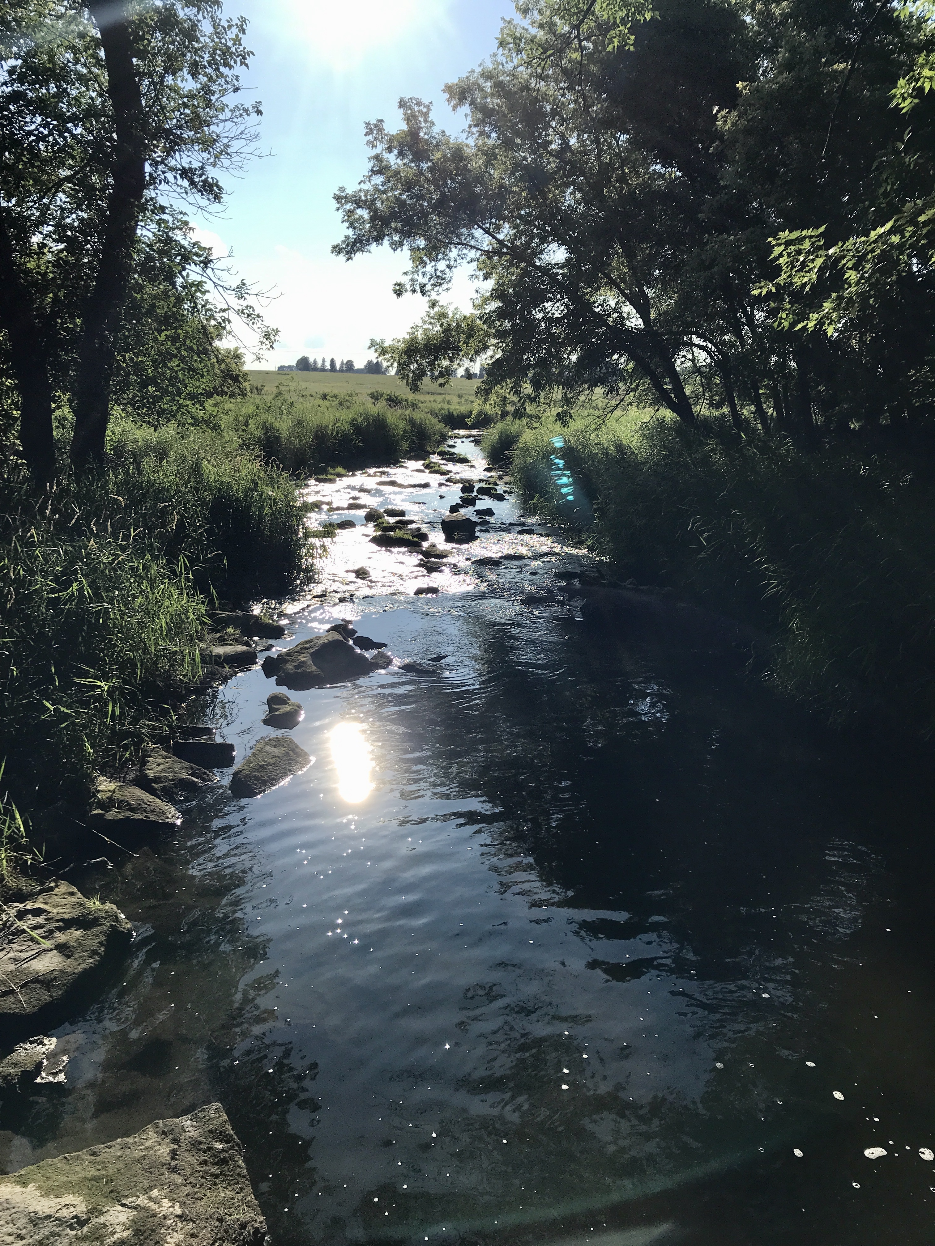
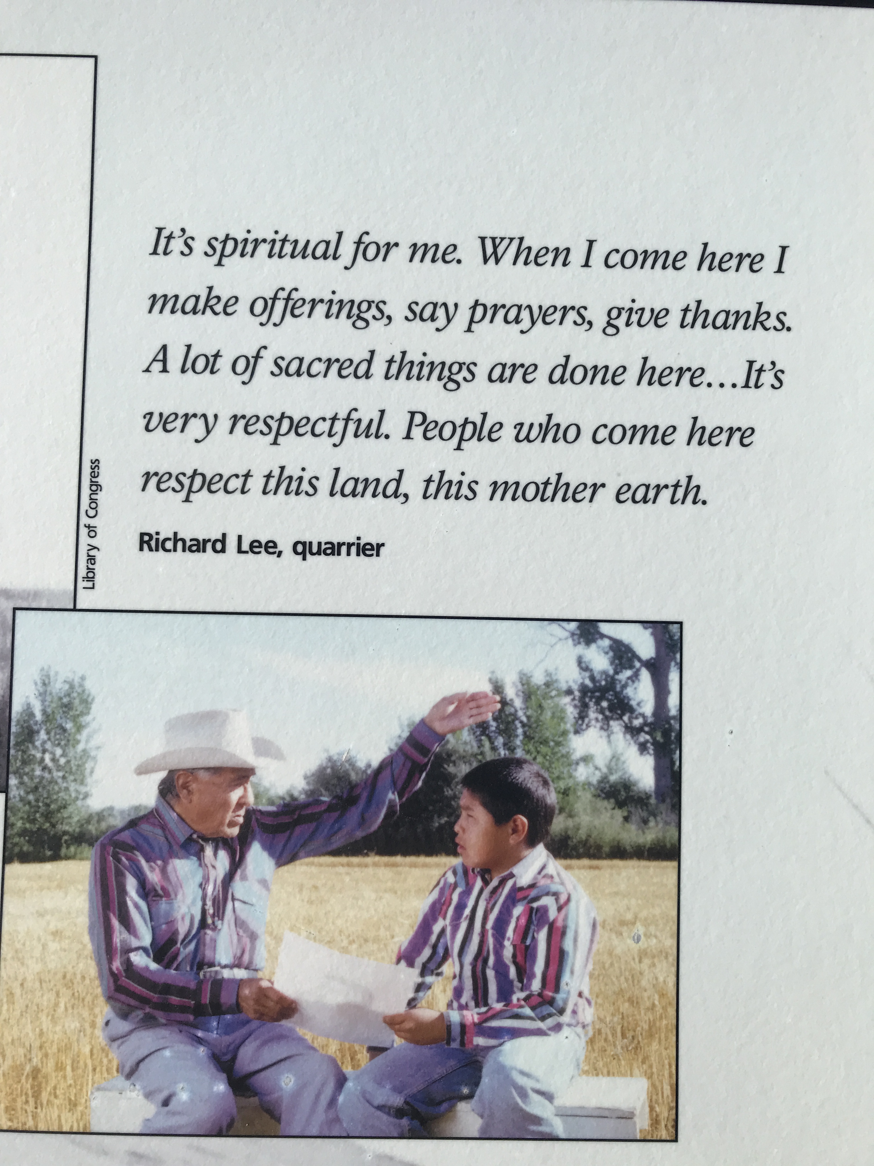
The Dakota Sioux controlled this quarry from 1700 to the mid 1850’s before American settlement started poaching the valuable mineral. This red/brown stone was soft enough to carve and durable enough to last centuries. Ceremonial pipes carved from the rock for thousands of years. This stone made its way all over the Americas before the Europeans arrived. The one square mile site is a sacred place for the Plains Indians even today. The United States government protected this valuable commodity and gave exclusive quarrying rights to the Sioux. The rest of us can still respectively enjoy the stunning red quartzite cliffs, the flowering prairie, and the waterfall fed forest.